No items found.
Skip to main content
June 2026

ForeFlight MFB: Low Level Corridors

Create tactical corridors to display per-leg hazards and clearance altitudes on the map.

No images available to display.
back
next

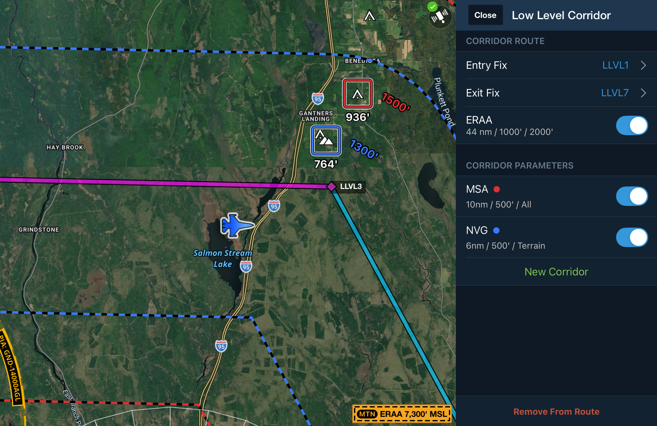
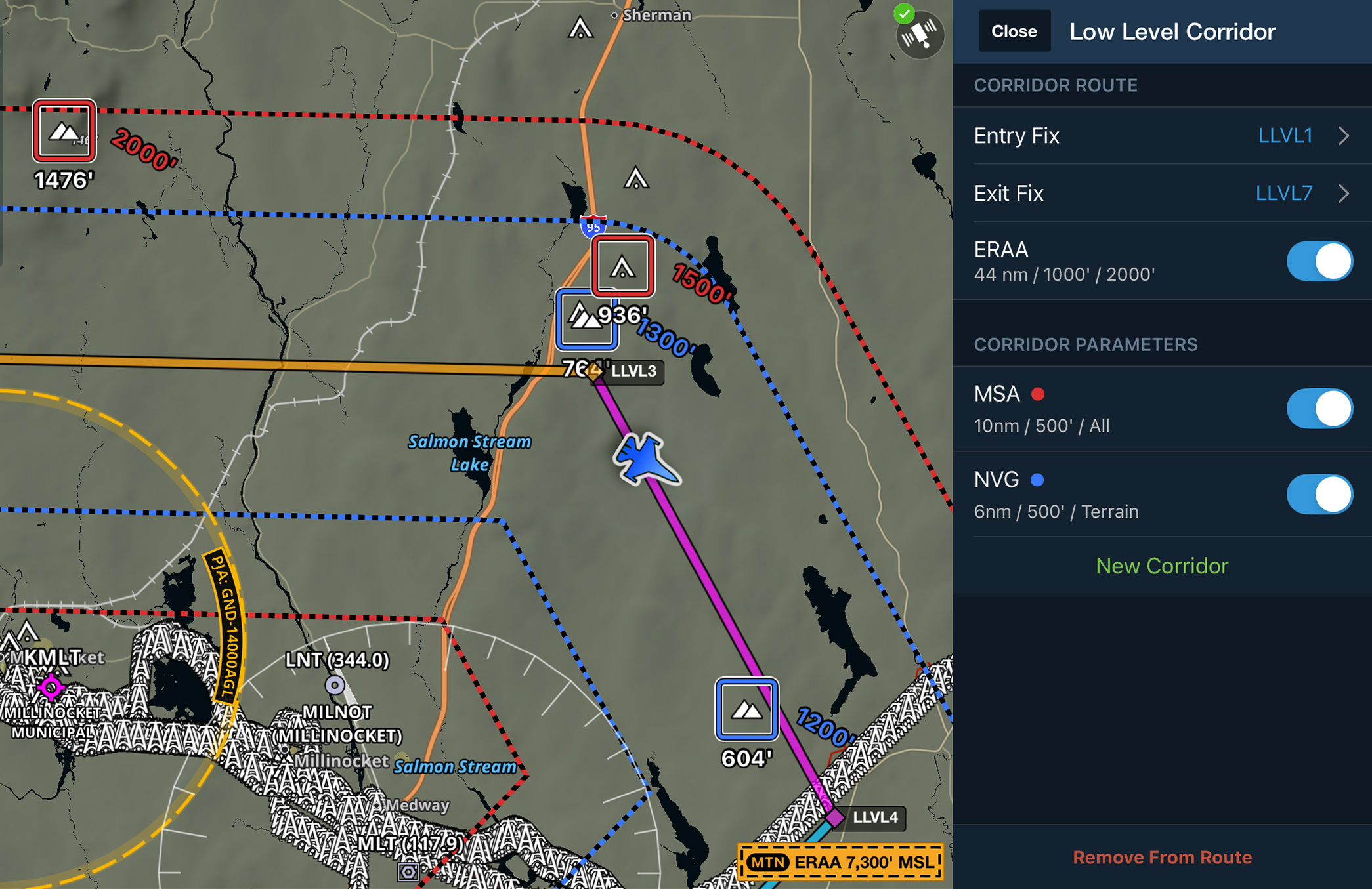
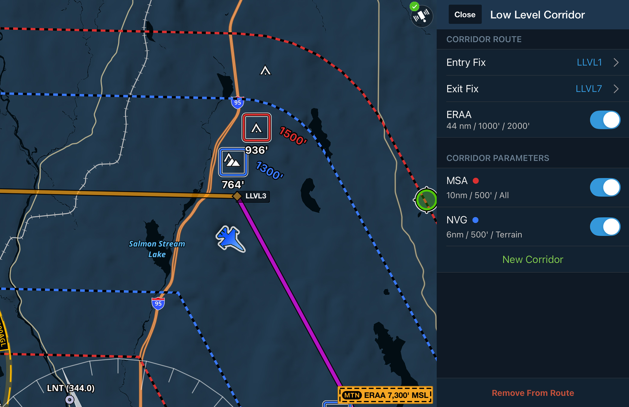
Configure tactical corridors for individual route segments to display per-leg hazards and clearance altitudes on the map. After creating a flight plan with two or more waypoints, tap a waypoint and select Low Level Corridor to configure ERAA and tactical corridors. Add up to eight tactical corridors between any entry and exit fix pair, customize each corridor's width, clearance altitude, and display settings, and view up to four corridors on the map at once.

Low Level Corridors are available with ForeFlight MFB One subscriptions.
Release notes

Release notes

  • Add multiple tactical corridors to low-level route segments to automatically display per-leg hazards and clearance altitudes on the map.
  • After creating a flight plan with two or more waypoints, tap a waypoint and select “Low Level Corridor” to configure both ERAA and tactical corridors.
  • Add up to eight Tactical Corridors between any entry/exit fix pair, with up to four displayed on the map at once. Customize each corridor’s name, width, clearance altitude, border color, obstruction control preference, and on-map label.
  • ForeFlight automatically identifies the highest terrain or obstacles within each enabled corridor on a per-leg basis, based on a set of highly-configurable parameters for each corridor.
  • Available with ForeFlight MFB One subscriptions.
Support

Support

FAQs
Finden Sie Antworten auf Ihre Fragen
Leitfaden anzeigen
Das vollständige ForeFlight-Handbuch
Videothek
ForeFlight-Videos – alle an einem Ort
Kaufberatung
Wählen Sie den richtigen Tarif