

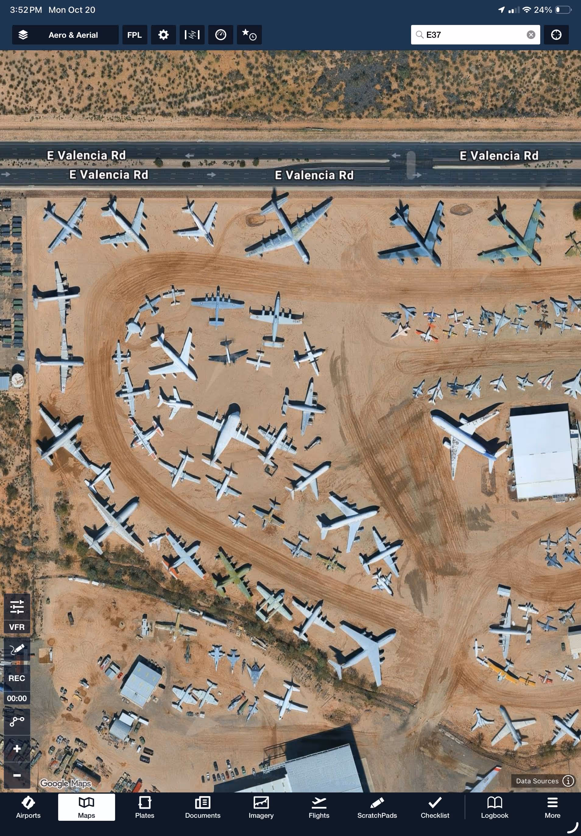

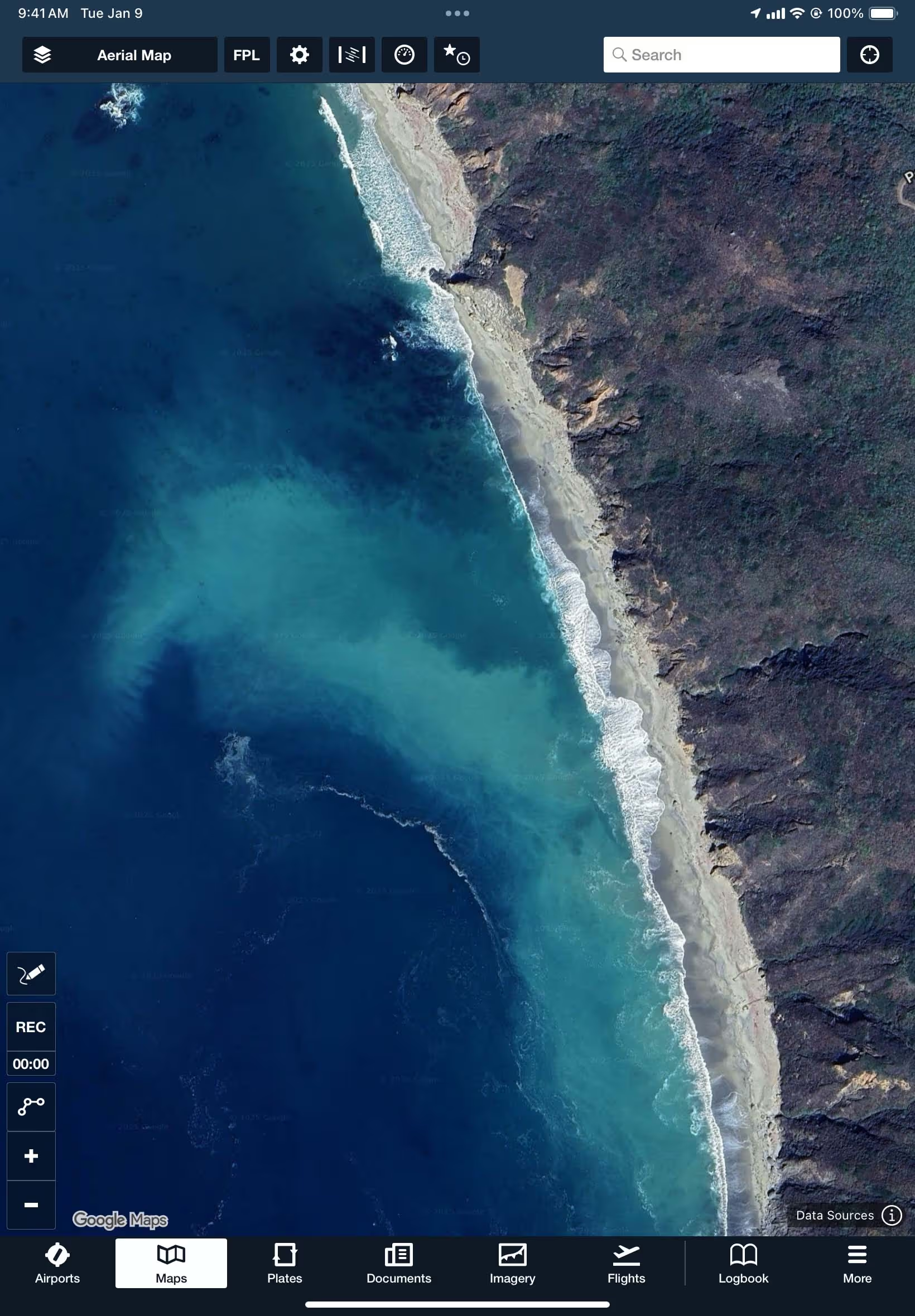
Access clearer, more frequently updated views, from runways to mountain ranges. Powered by Google’s high-resolution satellite imagery, ForeFlight’s Aerial map layer, 3D views, and more are now more recent for detailed flight planning. Note: An internet connection is required to load new Aerial map tiles.
.avif)
All Plans
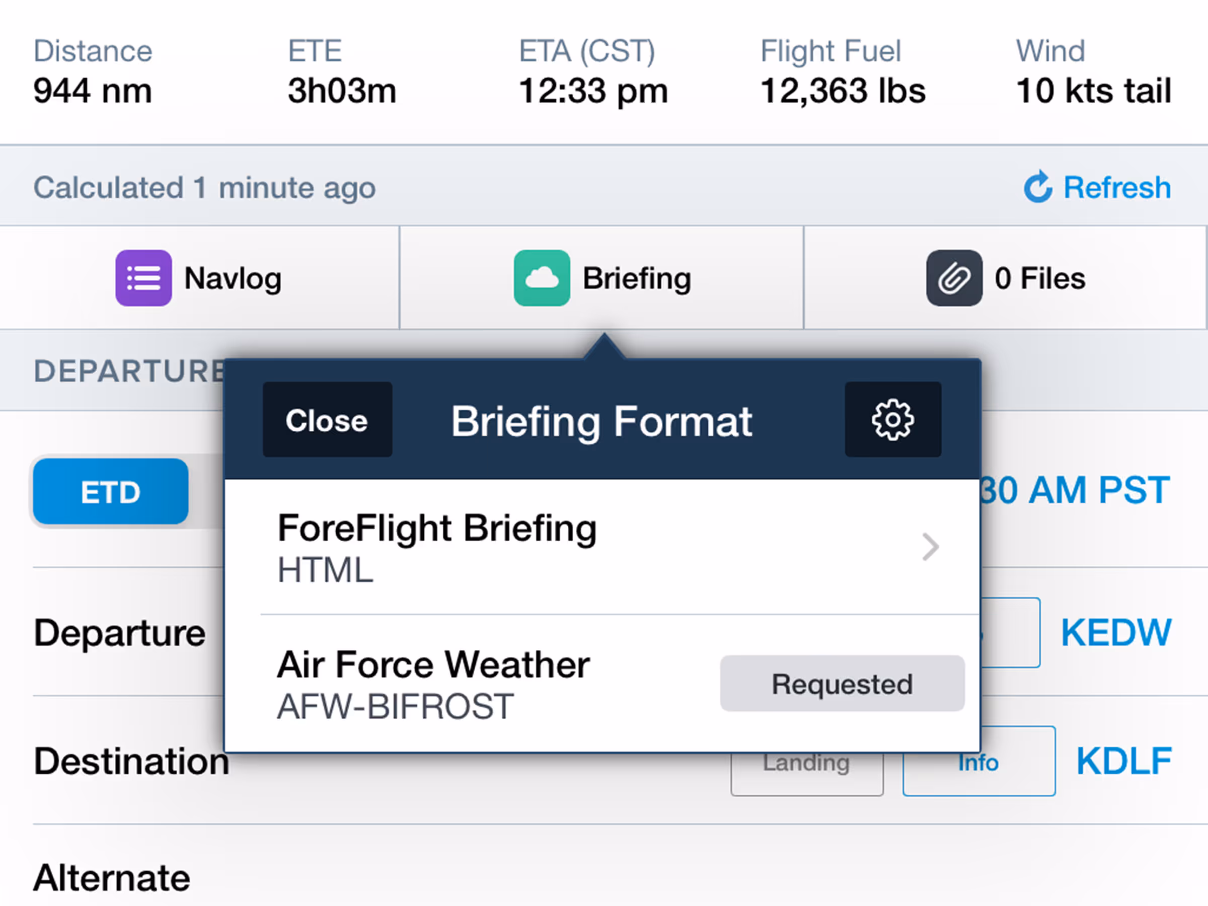
Custom Weight & Balance Curtailments
Increase safety and confidence with user-defined weight buffers in preflight weight-and-balance calculations.
.avif)


