ForeFlight Team Awareness Kit
FFTAK brings the situational awareness of TAK directly into ForeFlight Military Flight Bag, giving military aircrews real-time team position data on the same map where pilots already view their route, terrain, and weather.
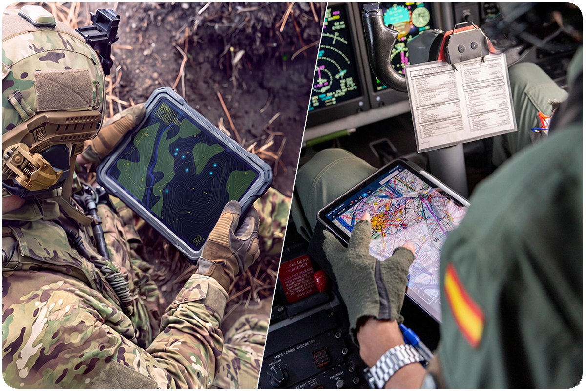
Your team is on TAK. Now ForeFlight is too.
With a connection to TAK servers, your position is streamed to the network while bringing every other TAK-connected asset onto your ForeFlight MFB map as live traffic. This keeps the mission picture current for all team members, and provides the exact location of your team at-a-glance for better situational awareness.
FFTAK is available for MFB One subscribers.
TRY MFB ONE FREE FOR 30-DAYS
Team tracking belongs
in your integrated flight app
When you’re flying, your focus is on the information that helps you safely and efficiently complete the mission. Your route, terrain, weather, NOTAMs, and aircraft position already live in ForeFlight. Now your team’s positions can be too.
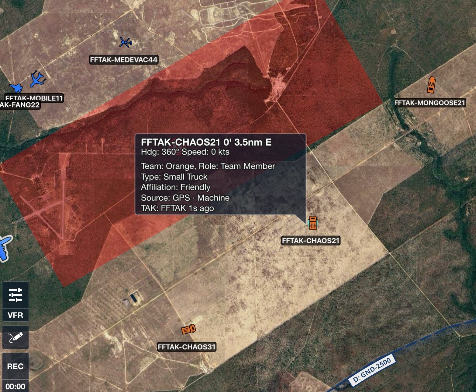
FFTAK connects ForeFlight MFB One to TAK servers using the Cursor on Target (CoT) protocol, allowing team positions to appear alongside the flight information you already use. Instead of mentally connecting information across multiple displays, you can see friendly forces in the context of your mission as you fly.
What FFTAK delivers
FFTAK brings TAK capabilities into the ForeFlight environment, giving crews a familiar way to work with TAK data during flight. It fits into existing workflows while supporting the connected operations and mission requirements of military aviation.
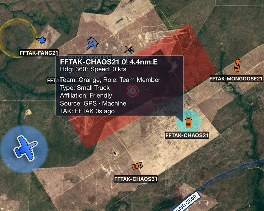
ONE COMMON OPERATING PICTURE
View TAK, ADS-B, and internet traffic together on the ForeFlight map as separate traffic layers, with each layer clearly identified and its status displayed.
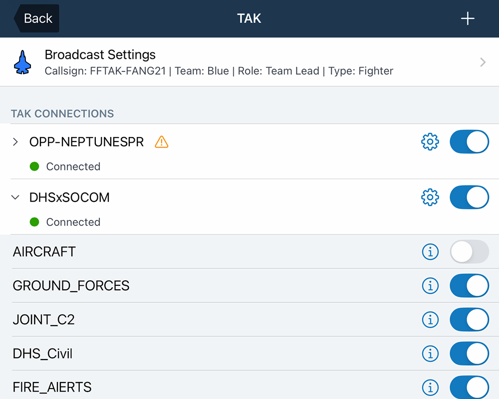
MISSION-READY CONNECTIVITY
Connect ForeFlight to your existing TAK network using the CoT protocol over WiFi, cellular, or specialized airborne networks, with no special server-side configuration required.
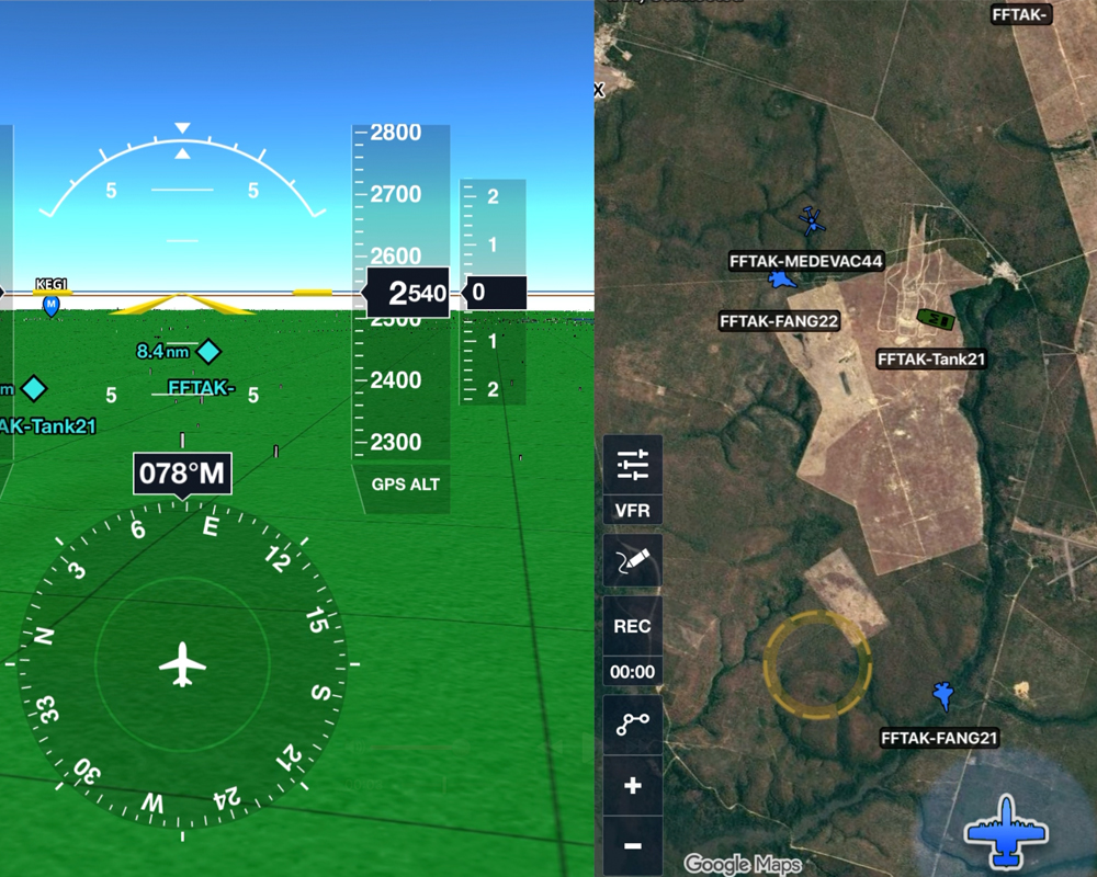
ELIMINATE ANCILLARY DEVICES
Bring TAK position data directly into ForeFlight, giving you a single place to view mission traffic and reducing the need to cross-reference multiple devices during flight.
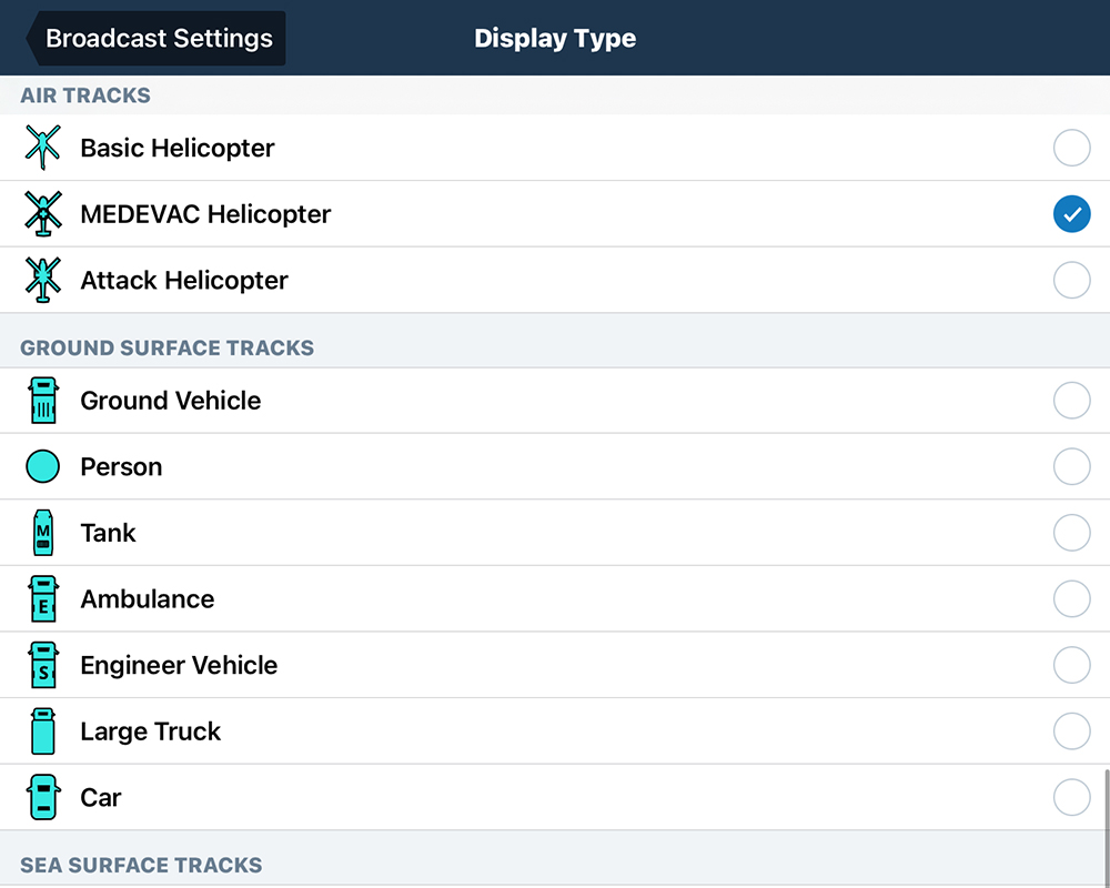
30 EMITTER CATEGORIES
View 30 air, ground, and sea track types, with traffic organized by team color or affiliation: friendly, hostile, unknown, or neutral.
Additional TAK Resources
TAK.gov
Official TAK website, with information about TAK products, capabilities, and resources.
Visit TAK.govCIVTAK
Community resources, news, licensing, support, and downloads for TAK/ATAK tools.
Visit CIVTAKCommunity TAK Server
Use a data connection to collaborate with other connected TAK end users.
Learn more