The Maps view now displays information for most tappable elements and layers in a new semi-permanent sidebar that stays open while you interact with the map.
The Sidebar appears anytime you tap-hold on the map to open the Add to Route window or tap on most Map elements, including Aeronautical Map elements like airports and weather or informational layers like AIR/SIGMETs, TFRs, Fuel Prices, and more. Not all tappable map elements utilize the sidebar, including traffic targets and obstacles.
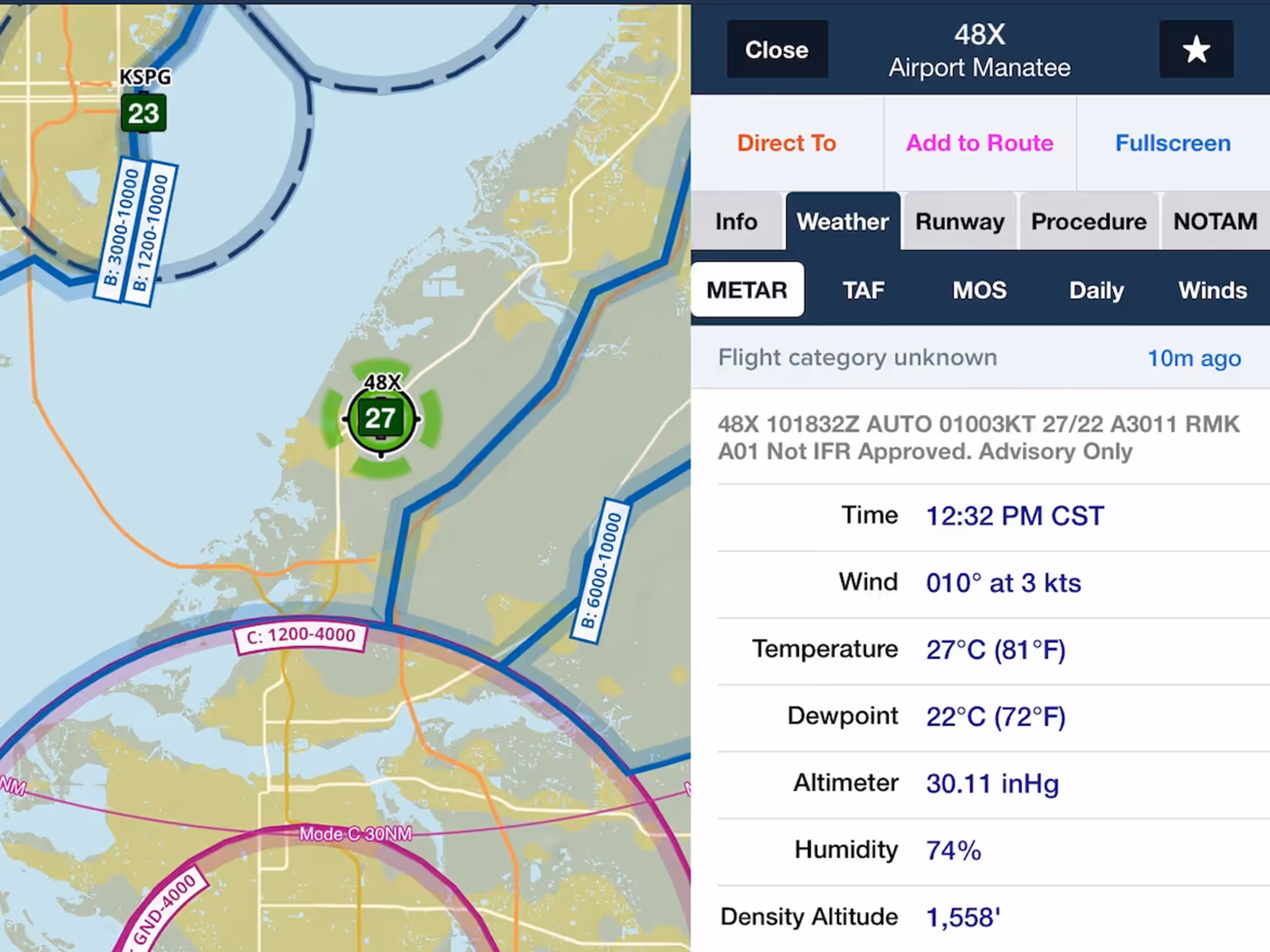
The sidebar remains open until you tap the Close button or tap on a blank area on the map, allowing you to pan and zoom the map with the sidebar open, tap other map elements to update the sidebar with their information, change map layers or settings, use Map Annotation or the Ruler, and more.
ForeFlight also displays a flashing green marker on the selected map element or location where you tapped so you don’t lose track of it, and highlights any airspace at that location in green. Tapping on an airway or route leg will outline such segments in green rather than displaying the point marker.
On iPhone, Map information is displayed in the lower two-thirds of the screen as before, but you can now interact with the map while viewing this information.