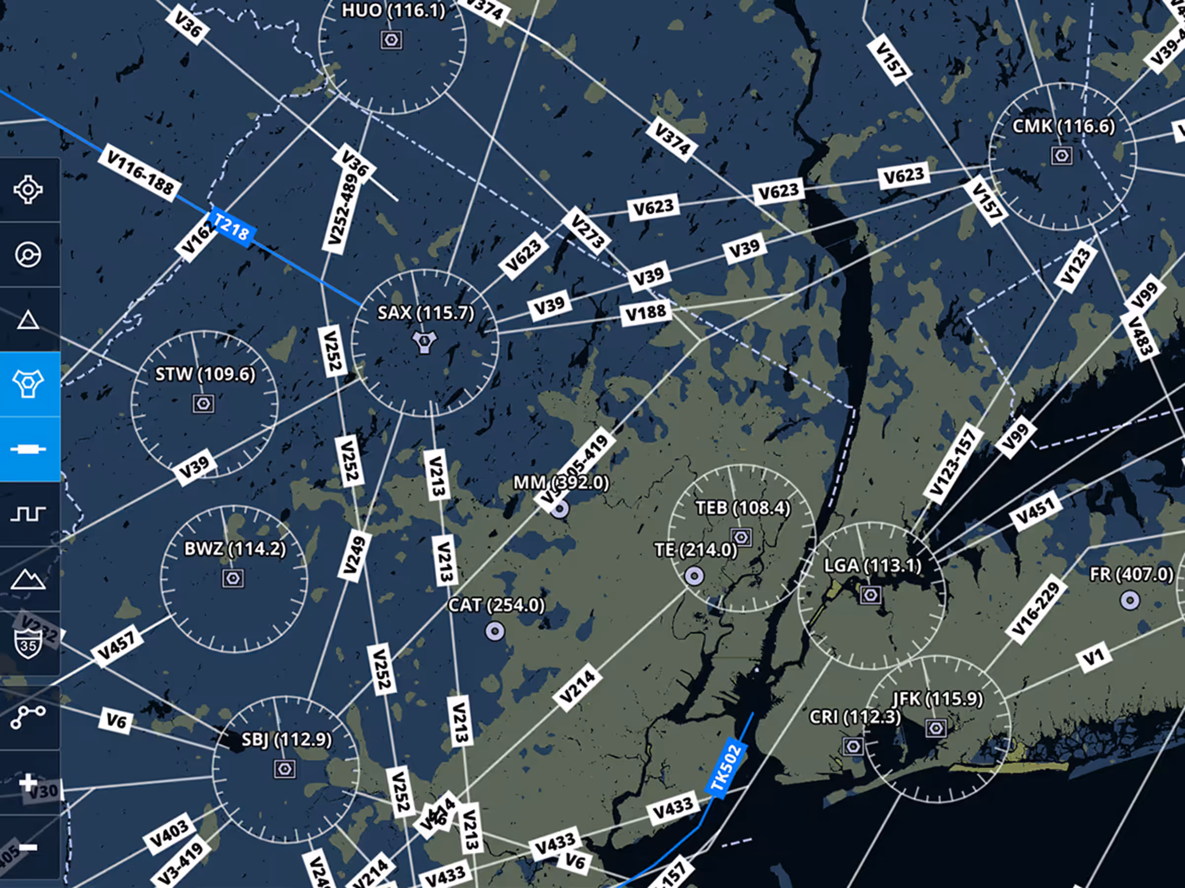
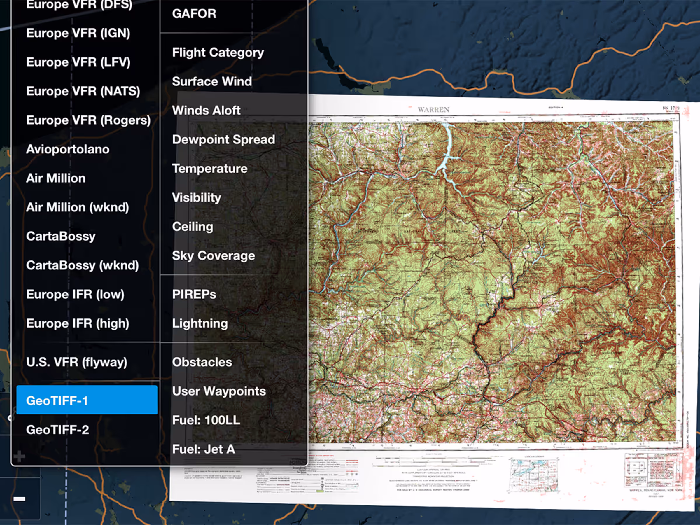
Import custom charts in GeoTIFF format either individually or in Content Packs to display them on ForeFlight’s map. Available with ForeFlight Military Flight Bag subscriptions.
All Plans
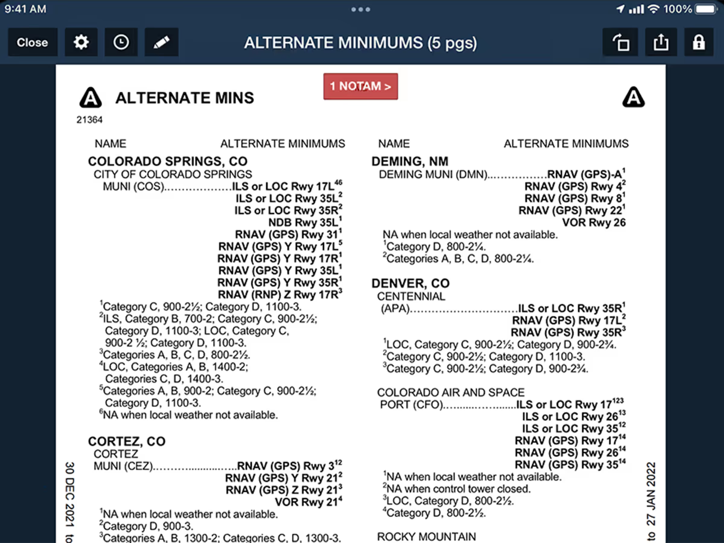
Quickly Find Takeoff & Alternate Minimums
Auto-open Takeoff and Alternate Minimums documents to the correct page for US airports from Procedures list.