Clear skies. Big savings!
These conditions call for an upgrade. Save 20% on Essential and Premium subscription plans and 10% on Sentry Plus at select retailers through September 1.* Plus, promotional pricing on Jeppesen Charts and NavData.
*Not eligible for renewals of the same plan. Discount applies only to individual base plan prices. Valid on website purchases only. Not valid on ForeFlight Business or MFB accounts. Sentry Plus discount available only with select retailers.

SAVE 20%
Buy or upgrade to Essential
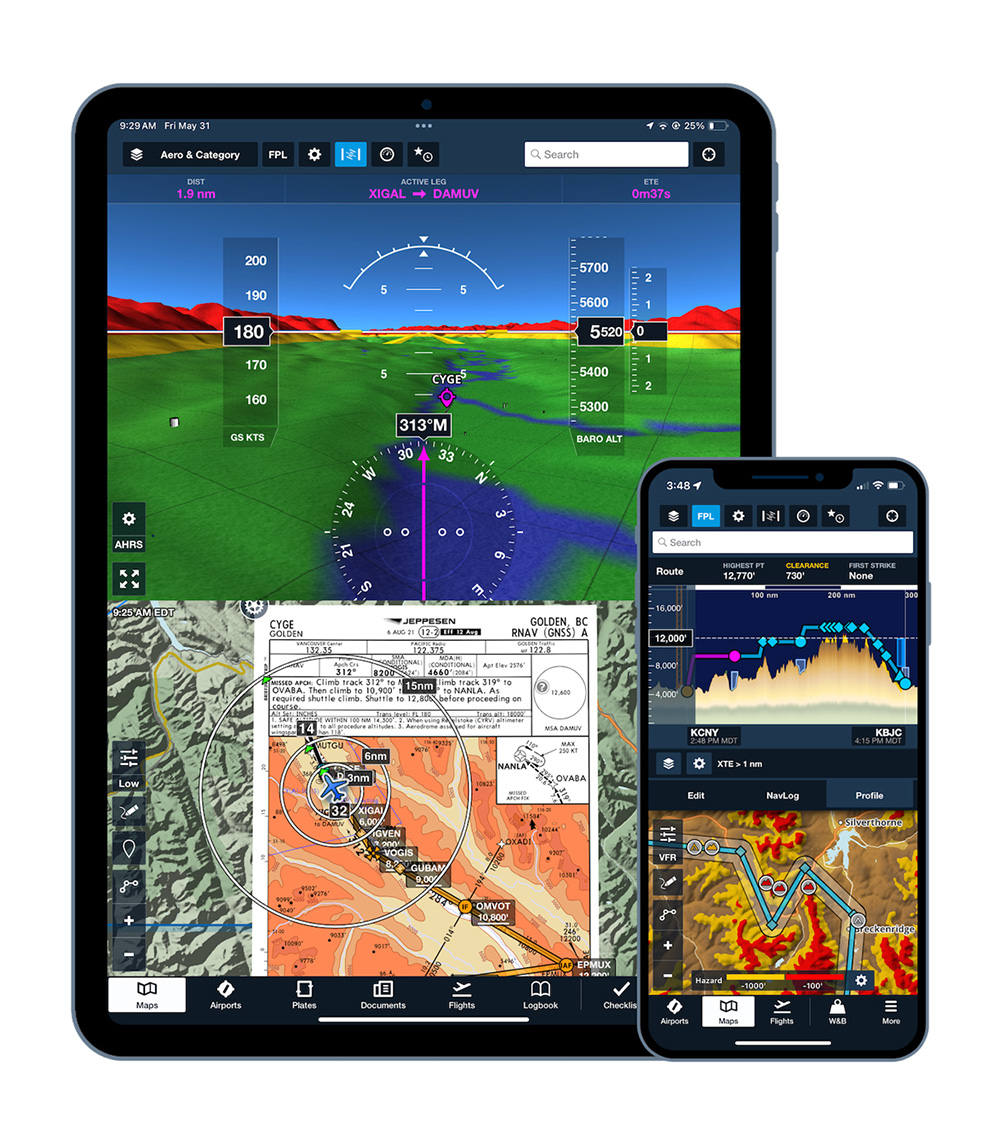
ForeFlight's Essential subscription provides several visual support features to keep you aware in unfamiliar airspace and airports with:
- Safety-enhancing hazard awareness features
- Geo-referenced approach plates and airport diagrams
- Dynamic procedures
- Global forecast layers for weather
- And more!
Use promo code: MIDYEAR26
*Not eligible for renewals of the same plan. Discount applies only to base plan prices. Valid on website purchases only.
SAVE 20%
Buy or upgrade to Premium
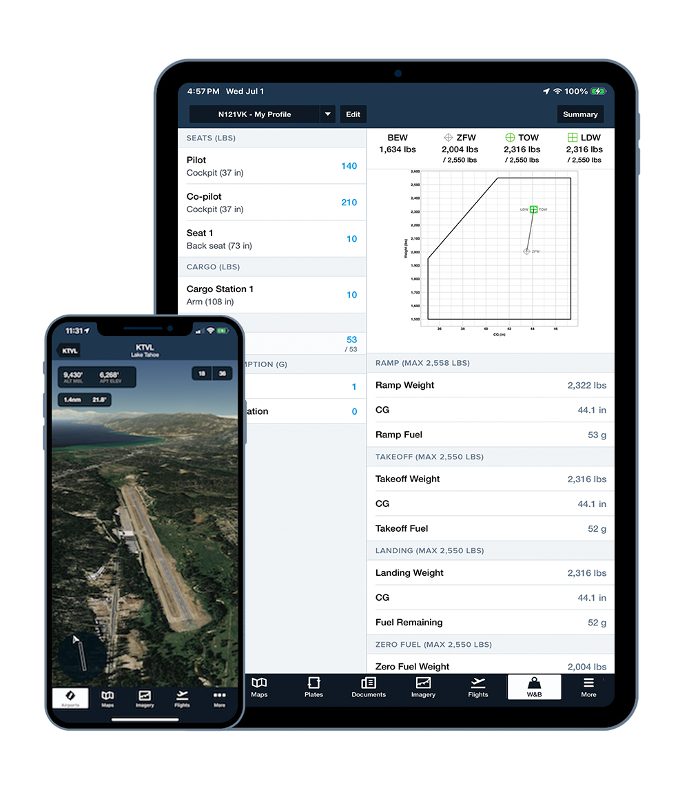
ForeFlight's top-tier Premium subscription includes our most advanced features to help you efficiently plan and conduct flights of all types.
- Visualize your route and weather before takeoff
- Use detailed manufacturer-sourced performance models for accurate planning
- Integrate your weight and balance calculations directly into your flight
- And more!
Use promo code: MIDYEAR26
*Not eligible for renewals of the same plan. Discount applies only to base plan prices. Valid on website purchases only.
SAVE 10%
Buy a Sentry Plus
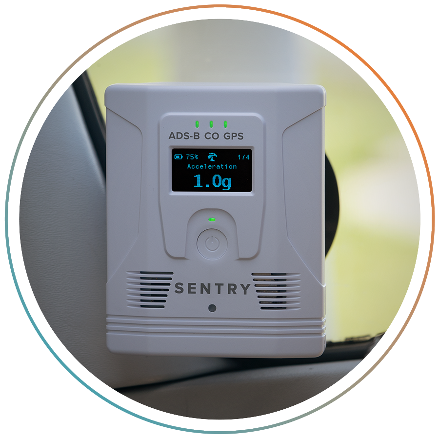
Experience smarter, safer flying with Sentry Plus!
- Free access to Reported Turbulence*
- Carbon monoxide detection
- Live ADS-B traffic and weather**
- AHRS for backup attitude
- 18-hour battery life
*With an Essential or Premium subscription plan
**Available in the US only
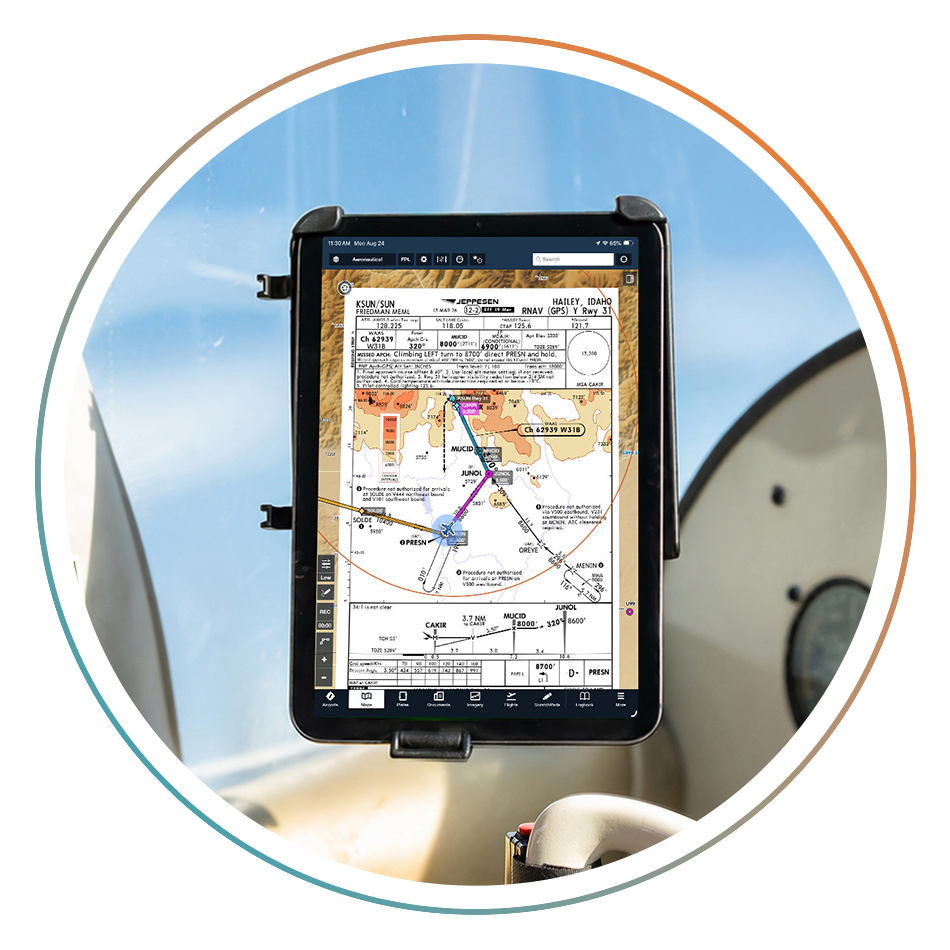
Jeppesen Charts
Brief every approach the same way, every time. Jeppesen's Briefing Strip™ format is built on NASA human factors research, organizing critical information in the order your eyes naturally scan the plate.
Starting at just $149/year for a limited time.
Jeppesen NavData
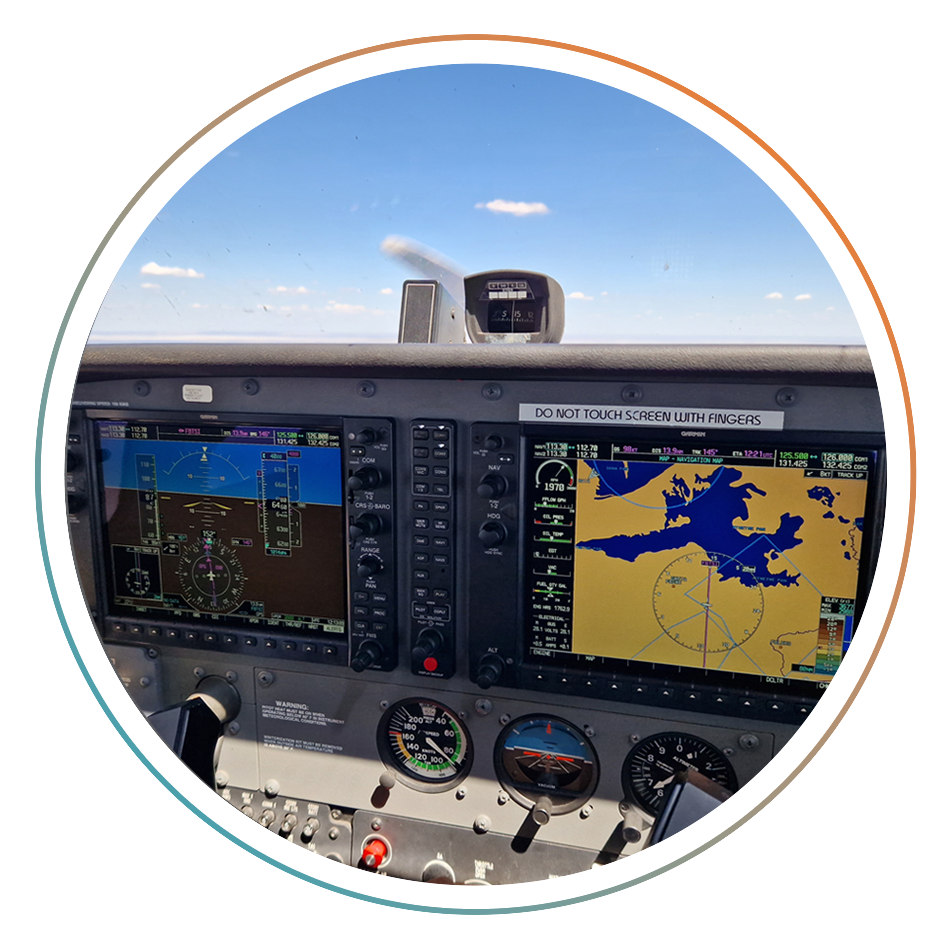
Fly the same data on your panel that you brief on your iPad. Add Jeppesen NavData® to your Garmin avionics and keep your GPS aligned with your ForeFlight route. Same procedures, same waypoints, same source.
65% off NavData, with coverages as low as $110 for a limited time.
Check out these popular Essential & Premium features!
| Features | Essential | Premium |
|---|---|---|
|
Brief and fly IFR procedures with an interactive alternative to static charts. A collapsible sidebar organizes the information you need in the order you brief it. Select your approach, transition, and minimums to see only the elements relevant to your flight. |
||
|
Stay aware of nearby hazards with terrain and obstacles highlighted on your moving map. Hazards appear in red or yellow based on their proximity to your altitude. |
||
|
Pull up live runway and ramp cameras at hundreds of airports and see actual conditions before you commit to the approach. |
||
|
Easily plan enroute altitude changes around terrain, weather, or airspace and visualize them, with the option to start or end a climb or descent at a specified waypoint. |
||
|
Weight & Balance Integrated with Flights Integrate your W&B calculations directly into an existing flight plan to keep every preflight detail like payload entries, balance profiles, and a signable Load Manifest in one place. |
||
|
Enhance your situational awareness with detailed, interactive views of airports, routes, and past flights. Follow planned flight paths from Maps or Flights views and replay past flights from Track Logs with realistic pitch and bank. |
||
|
Dynamic Winds and Temperatures View global forecast wind speed, direction, and temperatures at multiple altitudes and times using stunning animated weather layers. Both the “Winds (Temps)” and “Winds (Speeds)” layers use colorful heat maps covering the globe to represent their primary forecast values at the selected altitude and time. |