FOREFLIGHT MOBILE
WEATHER
ForeFlight Mobile features a full range of aviation weather products for comprehensive preflight planning. Access METARs and TAFs for airports, a rich library of static weather imagery, and an extensive collection of map weather overlays from radar to global icing and turbulence forecasts.

Dynamic Winds and Temperatures
View global forecast wind speed, direction, and temperatures at multiple altitudes and times using these stunning animated weather layers. Both the “Winds (Temps)” and “Winds (Speeds)” layers use colorful heat maps covering the globe to represent their primary forecast values at the selected altitude and time. Overlaid on each layer’s heat map are smoothly-flowing particle animations representing wind direction and speed, providing an intuitive view of large-scale weather patterns in relation to the layer’s primary forecast value (wind speed or temperature). Use the Time Slider to view wind forecasts in a 24+ hour period, and move the Altitude Slider to view winds from the surface up to 63,000 ft.
Both layers are included with a ForeFlight Premium subscription plan.
Watch the video
Weather in 3D Preview
Enable U.S. or Global Icing and Turbulence layers using the new layer selector in 3D Preview to display forecast weather along your route. 3D View depicts forecast weather as floating colored blocks that use the same color scale to represent forecast severity as the overhead map and Profile View. Use the altitude slider on the right to view weather at different altitudes, and tap the RTE button at the top of the altitude slider to only show weather at the same altitude as your route.
Weather in 3D Preview is included in ForeFlight’s Premium plan.
Watch the video
Weather in Profile View
Enhance your route planning with a cross-sectional view of internet icing and turbulence forecasts displayed in Profile View. Profile View uses the same color scales as the overhead map to depict varying intensities for each layer at multiple altitudes in relation to your route line. ForeFlight uses your planned departure and enroute times to display weather over multiple forecast periods during which your flight will be active, providing a more accurate picture of changing conditions throughout your flight.
Weather in 3D Preview is included in ForeFlight’s Premium plan.
Watch the Video
Global Turbulence, Icing, & Surface Analysis Weather Layers
ForeFlight's industry-leading weather visualization capabilities are now better than ever. Five dynamic Map layers graphically depict global icing, turbulence, and surface analysis forecasts, giving you the tools you need for more informed flight planning. You can view these layers on both mobile and on the web. Check out this article for a deeper dive into these weather features.
Available in Essential and Premium individual plans, as well as Business Performance and MFB Performance plans.
Watch the Video
New
Daily/Hourly Forecast
Stay on top of the weather today or next week with an all-purpose hourly forecast anywhere in the world. Access the globally-supported forecast for any airport in Airports > Weather > Daily, or any other airport popup such as on the Maps or Flights views, or by tap-holding anywhere on the map and tapping “Wx” in the top-right corner of the Add to Route window to see the forecast for that location.
Watch the Video
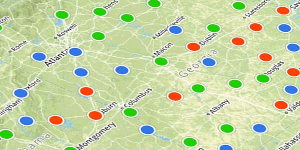
FLIGHT CATEGORIES
Color coded flight categories based on current weather conditions across the world.

SATELLITE
Global animated high resolution infrared satellite imagery.

NEXRAD RADAR
Animated, high resolution NEXRAD composite radar, complete with lightning strike, rotation detection, and storm tracks.
Graphical AIR/SIGMETs & Center Weather Advisories
ForeFlight plots out and color codes global SIGMETs, U.S. AIRMETs, and Center Weather Advisories directly on the map. Toggle on/off each type of advisory when you need to declutter. Get the full textual report by tapping on AIR/SIGMET or CWA.

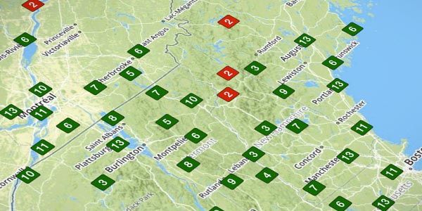
VISIBILITY
Color coded visibility values, plotted right on the map, derived from latest station reports.
DEWPOINT SPREAD
Quickly see global dewpoint spread information, color coded based on the likelihood of adverse conditions.
TEMPERATURE
Color coded temperatures, plotted right on the map, based on current conditions.
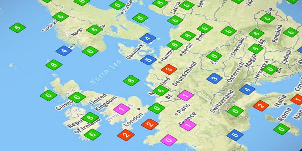
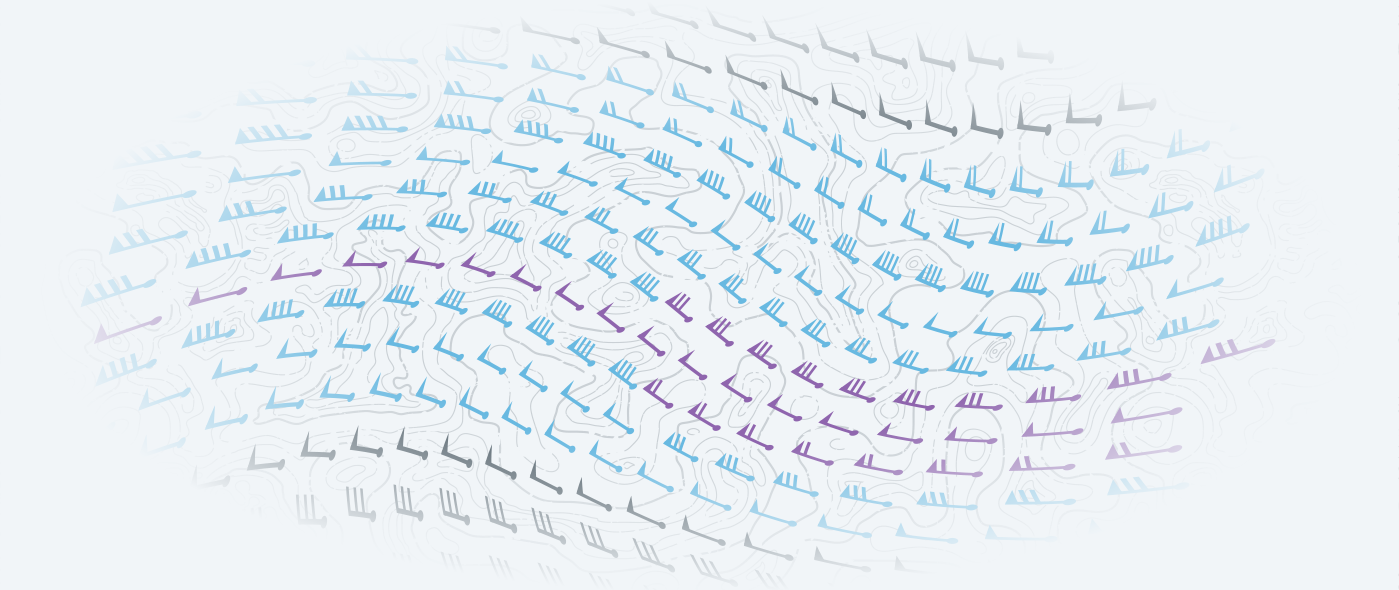
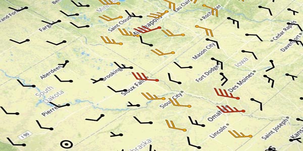
Global Winds Aloft
With ForeFlight’s Global Winds Engine, view winds aloft forecasts for any point on the planet up to 54,000 ft.
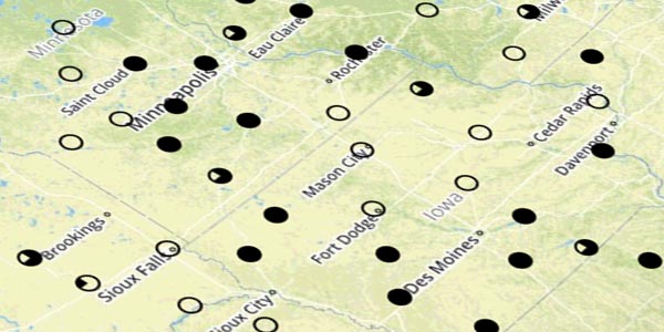
SKY COVERAGE
Global sky coverage information, plotted directly on the map where the report was recorded.
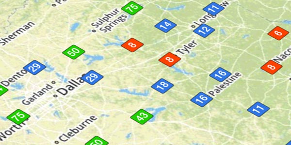
CLOUD CEILINGS
Global cloud ceiling info is plotted directly on the map and color coded based on flight rule (VFR, Marginal VFR, IFR, Low IFR).
SURFACE WINDS
Global surface wind reports are viewable on the map view.

U.S. Only
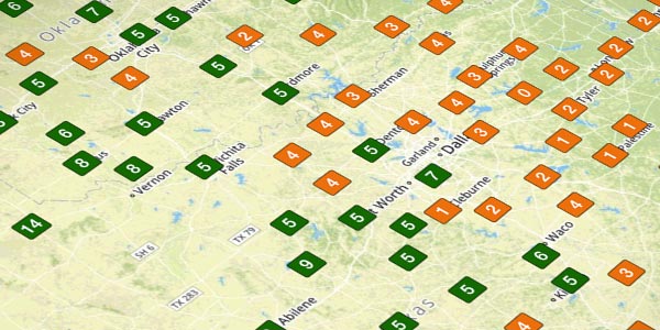
Model Output Statistics
MOS is an automated weather product that generates forecasts for over 2000 U.S. airports, including many that do not receive official TAFs. Using advanced weather prediction models, MOS forecasts surface wind, visibility, clouds, weather conditions, temperature, and dewpoint, with forecast periods up to 3 days in advance.
U.S. Only
In-Flight Weather
With portable receivers and avionics connectivity solutions, receive in-flight NEXRAD, METARs, TAFs, PIREPs, TFRs and more via FAA NexGen ADS-B network or SiriusXM satellite weather service.

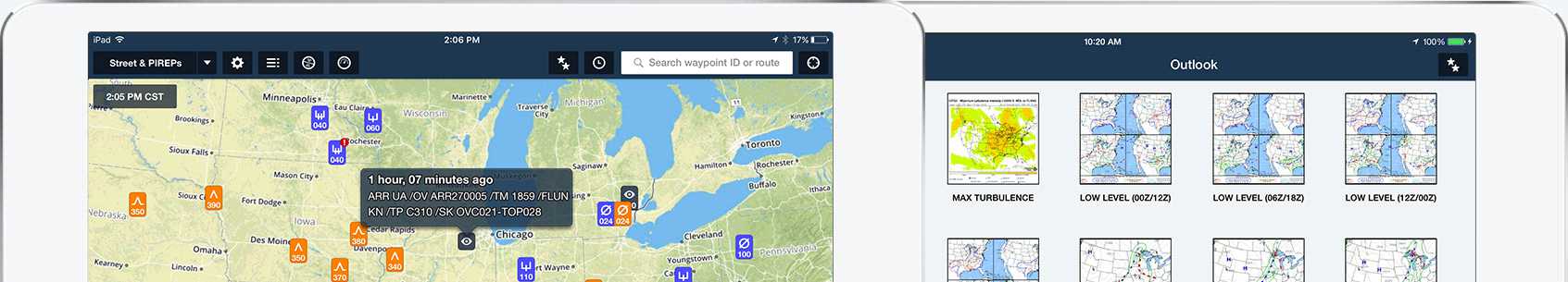
PILOT REPORTS
Forget text reports. PIREPs are pulled in from Lockheed Martin Flight Service and plotted directly on the map where the report was made, with appropriate iconography based on type. Tapping on a PIREP displays the full report.
IMAGERY
Choose from hundreds of different weather charts from NOAA (US), NAV CANADA (Canada), and others. Quickly nagivate weather by geographic region and type. Add favorites, browse recents, email images, or save them directly to your device
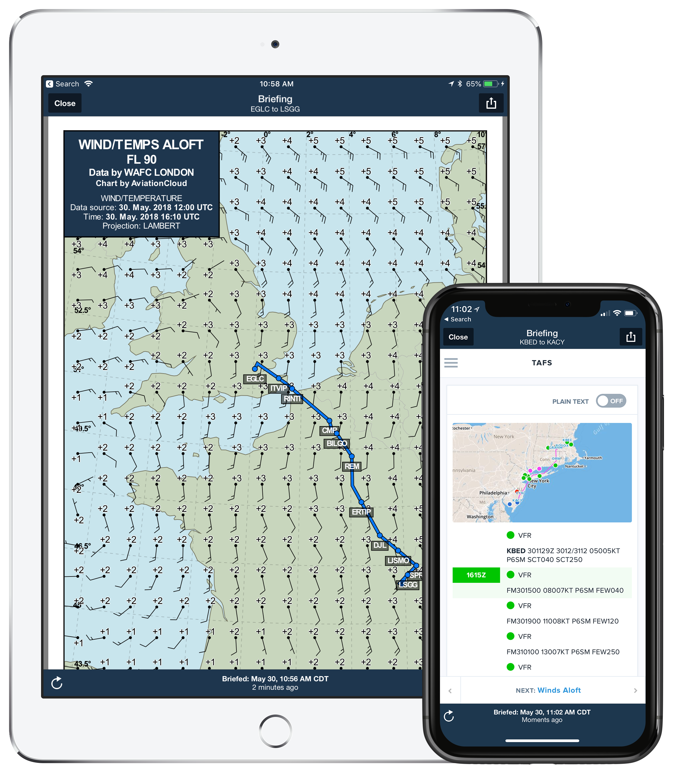
Brief Before You File
A comprehensive preflight briefing is a tap away when planning on the Flights view. With current and forecast conditions, NOTAMs, and advanced weather graphics, everything you need is delivered and synced between all the devices on your account and the web. After you file your flight plan, a copy of your briefing is sent to your email.
Learn More About Filing Flight Plans
Learn More About ForeFlight Briefing