MFB Plans
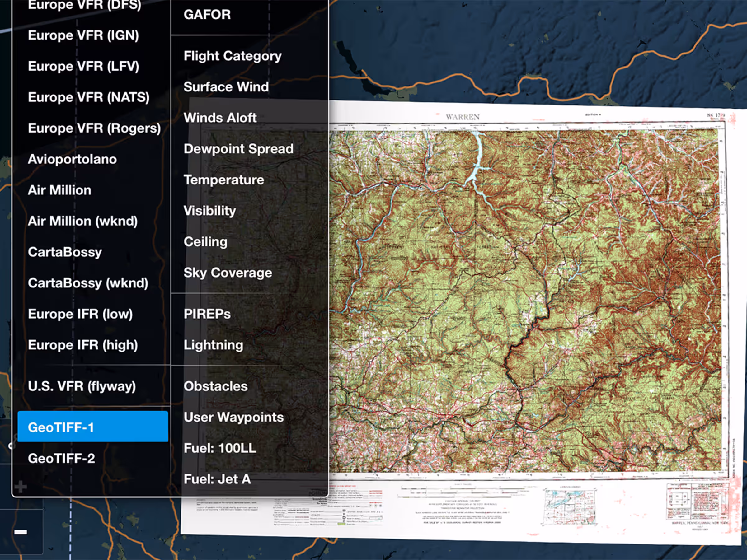
Military Flight Bag: GeoTIFF Support
Import GeoTIFF charts and maps from military mapping software like FalconView.
This release includes new Aeronautical Map Quick Toggles for Airways, Navaids, and Waypoints, improved functionality for Takeoff and Alternate Minimums documents, and more.
Import GeoTIFF charts and maps from military mapping software like FalconView.
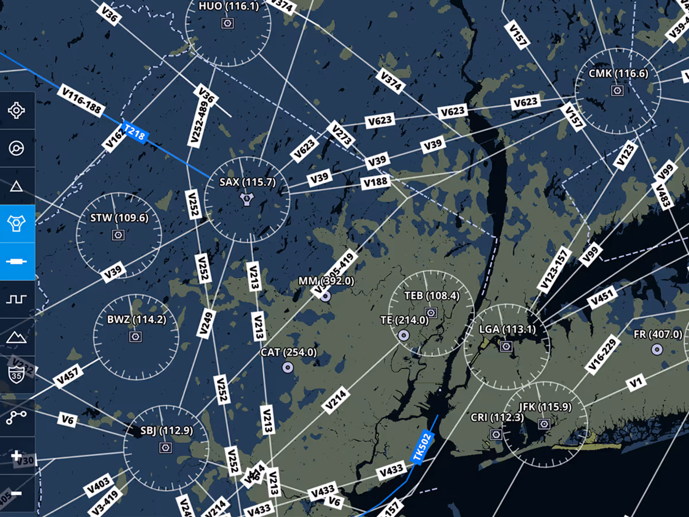
Customize Aeronautical Map with separate toggles for Airways, Navaids, and Waypoints.
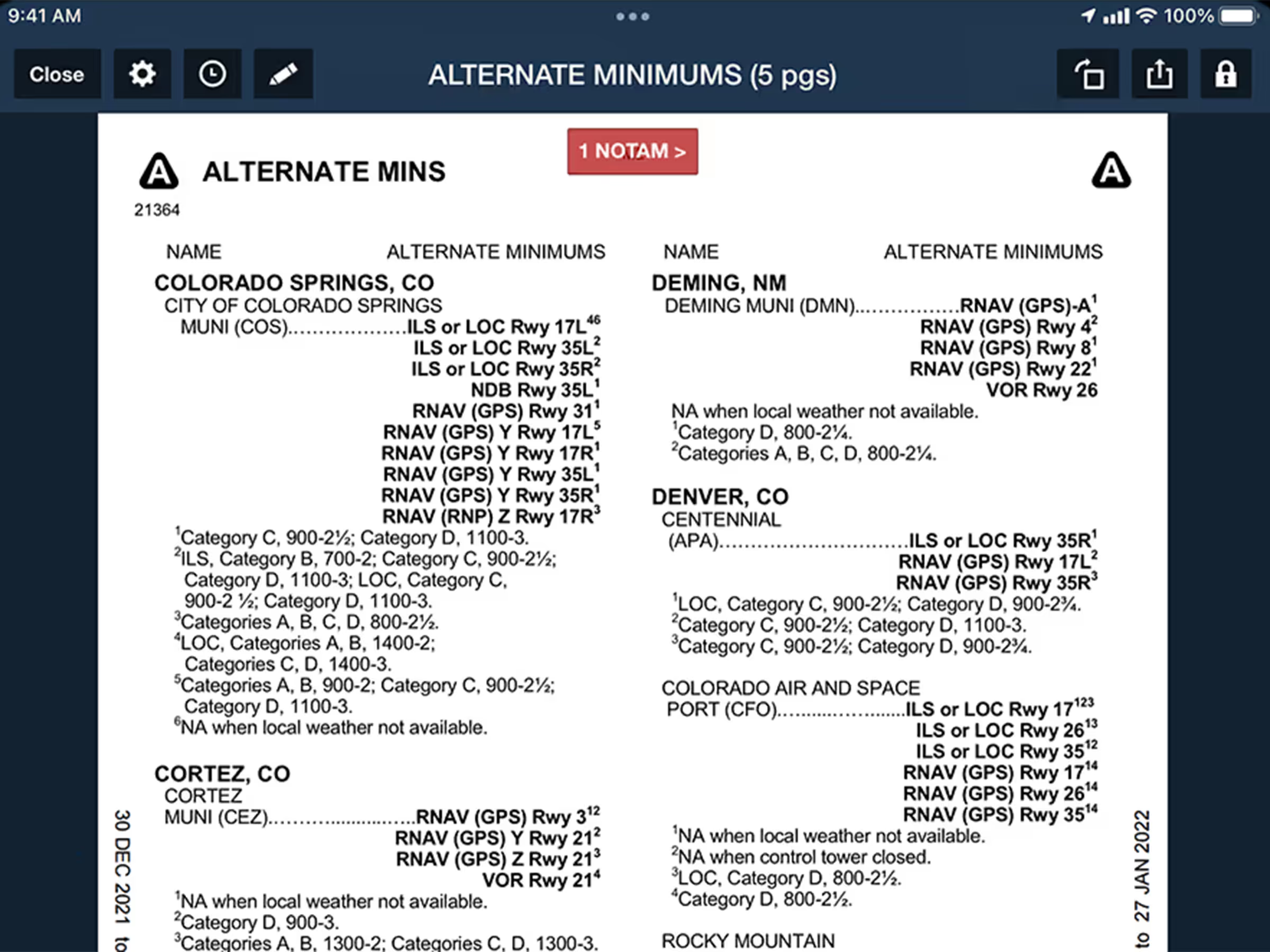
Auto-open Takeoff and Alternate Minimums documents to the correct page for US airports from Procedures list.
New Aero Map Filters
Quickly Find Takeoff & Alternate Minimums
Military Flight Bag GeoTIFF Support