April 2019

Import Geospatial PDFs

No items found.
back
next
This is some text inside of a div block.

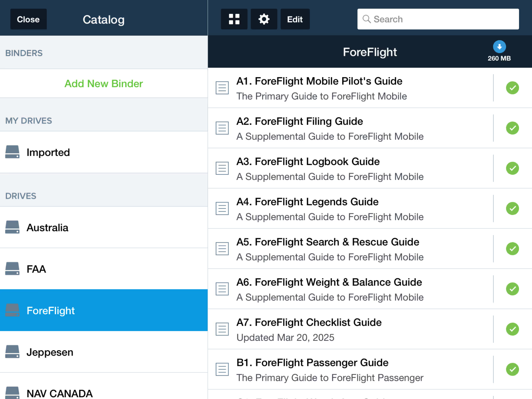
Customize your planning and flying experience even more with support for custom georeferenced procedures and airport diagrams in Content Packs and BYOP. Import geospatial PDF files to access them from the Airports or Plates views and overlay them directly on the map.

Georeferenced procedures and Plates on Maps are included in Pro Plus plans and above.

Release notes

Release notes

  • Import your custom procedures and airport diagrams as geospatial PDF files using Content Packs, BYOP folders, or as standalone files.
  • Geospatial PDFs behave just like georeferenced charts available through ForeFlight, allowing you to view them in the Airports and Plates views, display them on the map, and see your position on them

Support

Support

Month 2025

FAQs

FAQs

Find answers to your questions

Month 2025

Pilot's Guide

Pilot's Guide

The complete ForeFlight handbook

Month 2025

Video Library

Video Library

ForeFlight videos all in one place

Month 2025

Buying Guide

Buying Guide

Choose the right iPad and plan