18.9
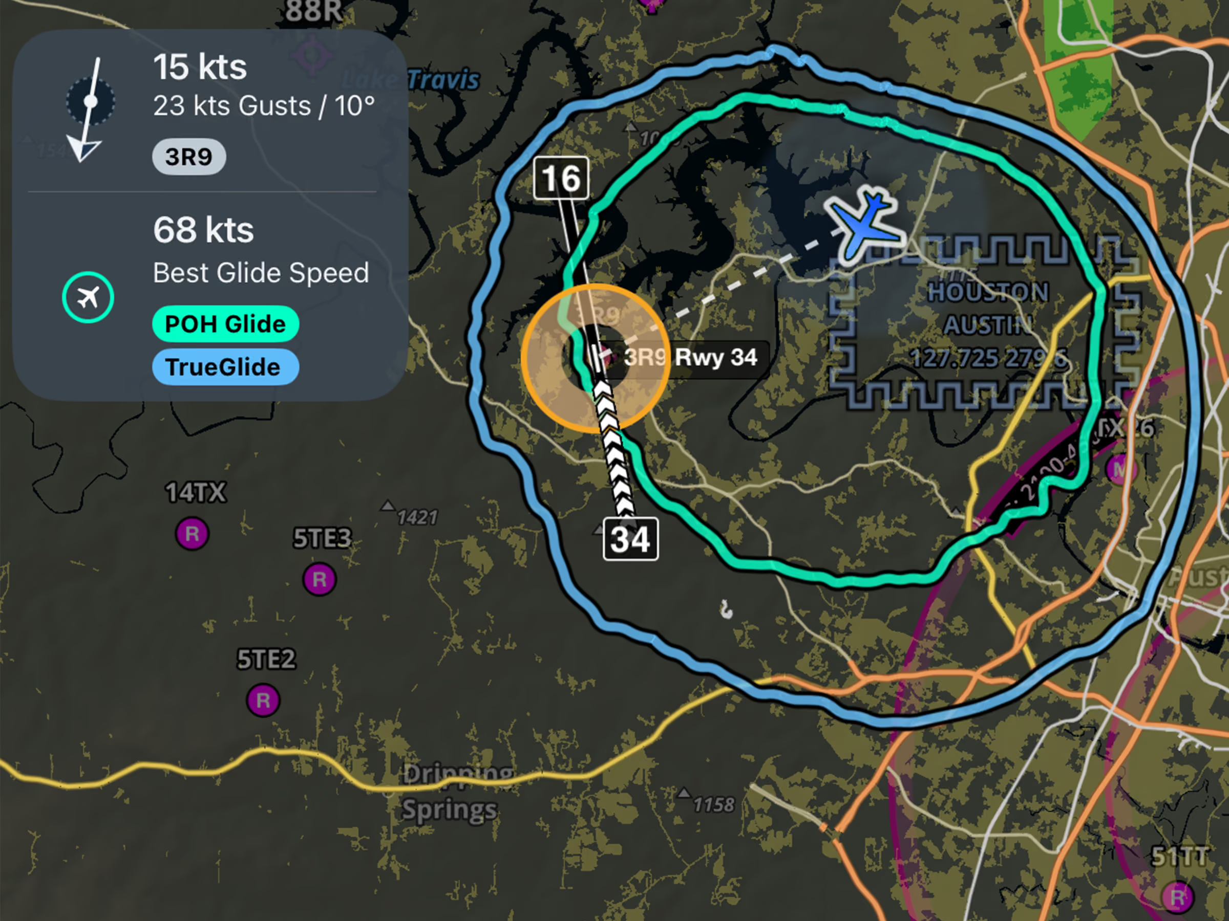
Emergency Glide Mode: TrueGlide
See a more realistic glide range based on your actual descent performance and wind conditions.

Explore the latest ForeFlight features and browse past release notes to stay updated on new tools, enhancements, and improvements.
See a more realistic glide range based on your actual descent performance and wind conditions.
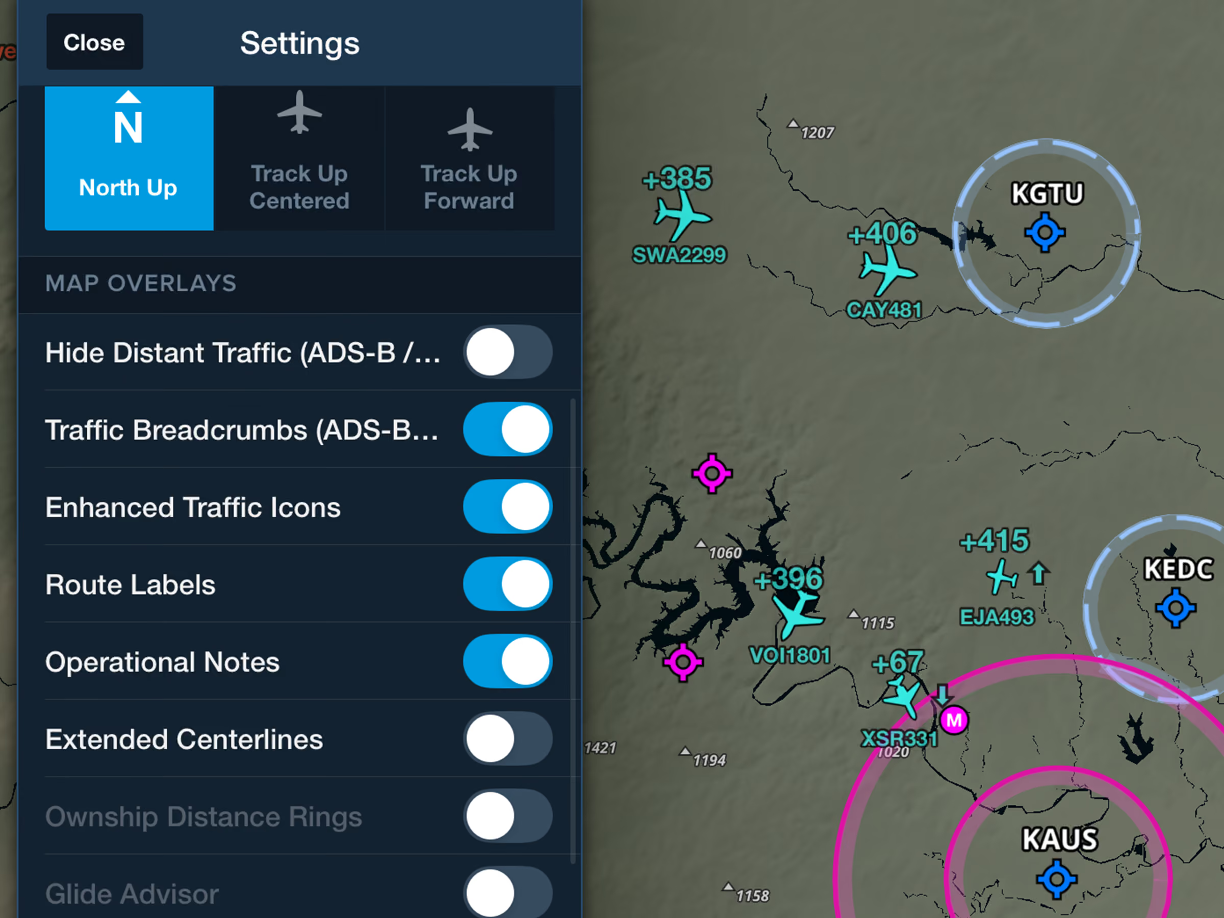
Identify nearby traffic more easily with realistic icons based on reported aircraft types.
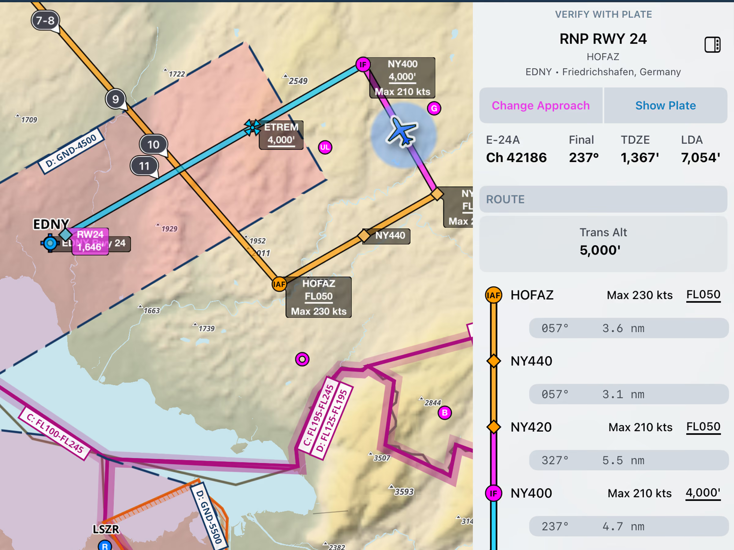
View runway LDA or total length and airport transition altitude or level in the Dynamic Procedures sidebar.
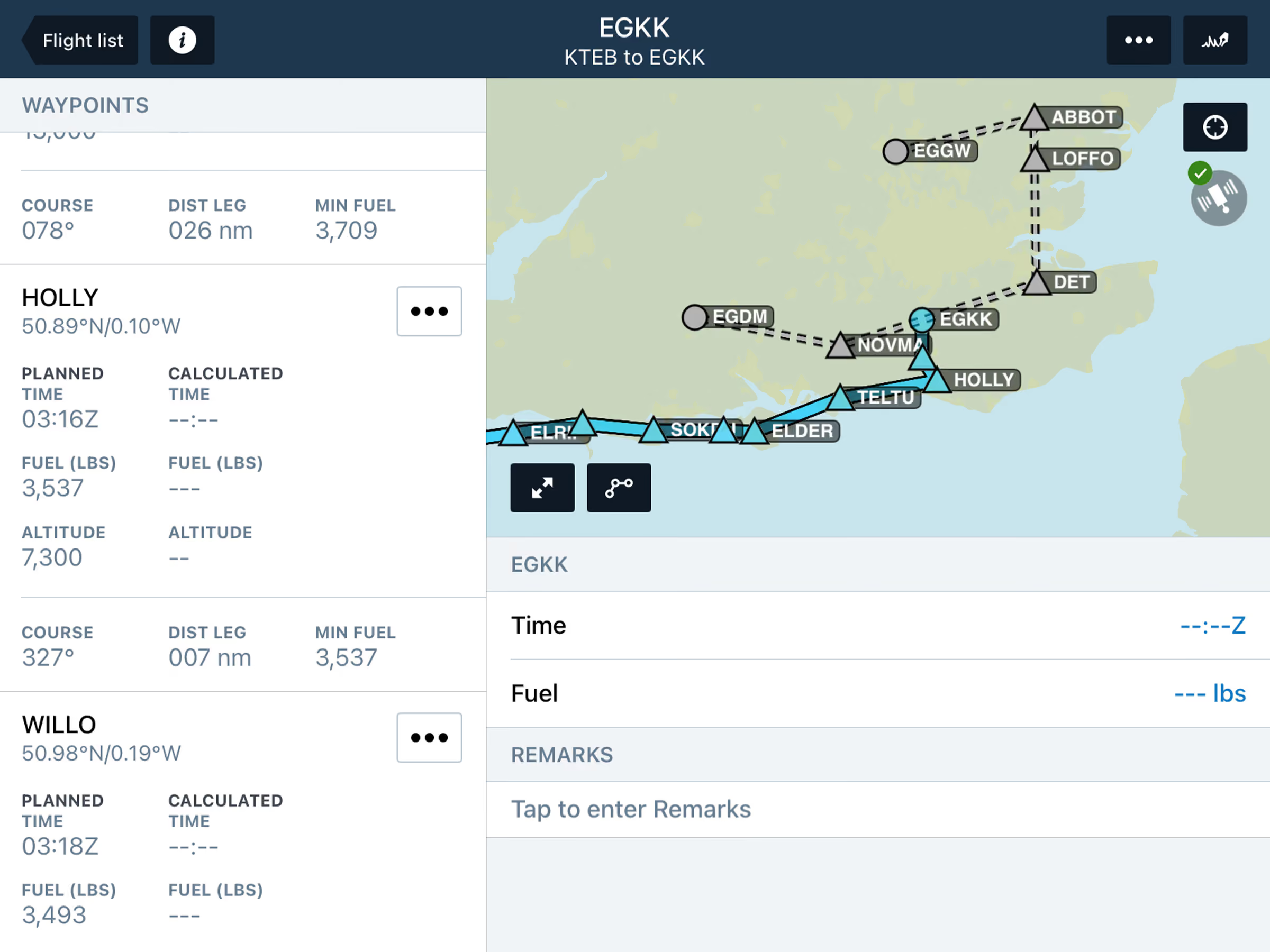
View planned alternates and filed routes in Active Navlog, with flexible diversion options during flight.

New charts to identify areas with potentially dangerous levels of ice water at high altitude.
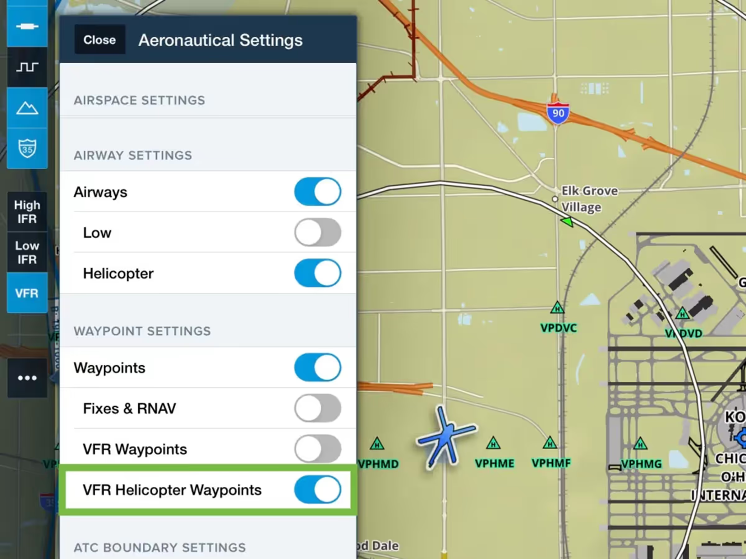
Control helicopter-only VFR waypoint visibility in VFR Aeronautical Mode.
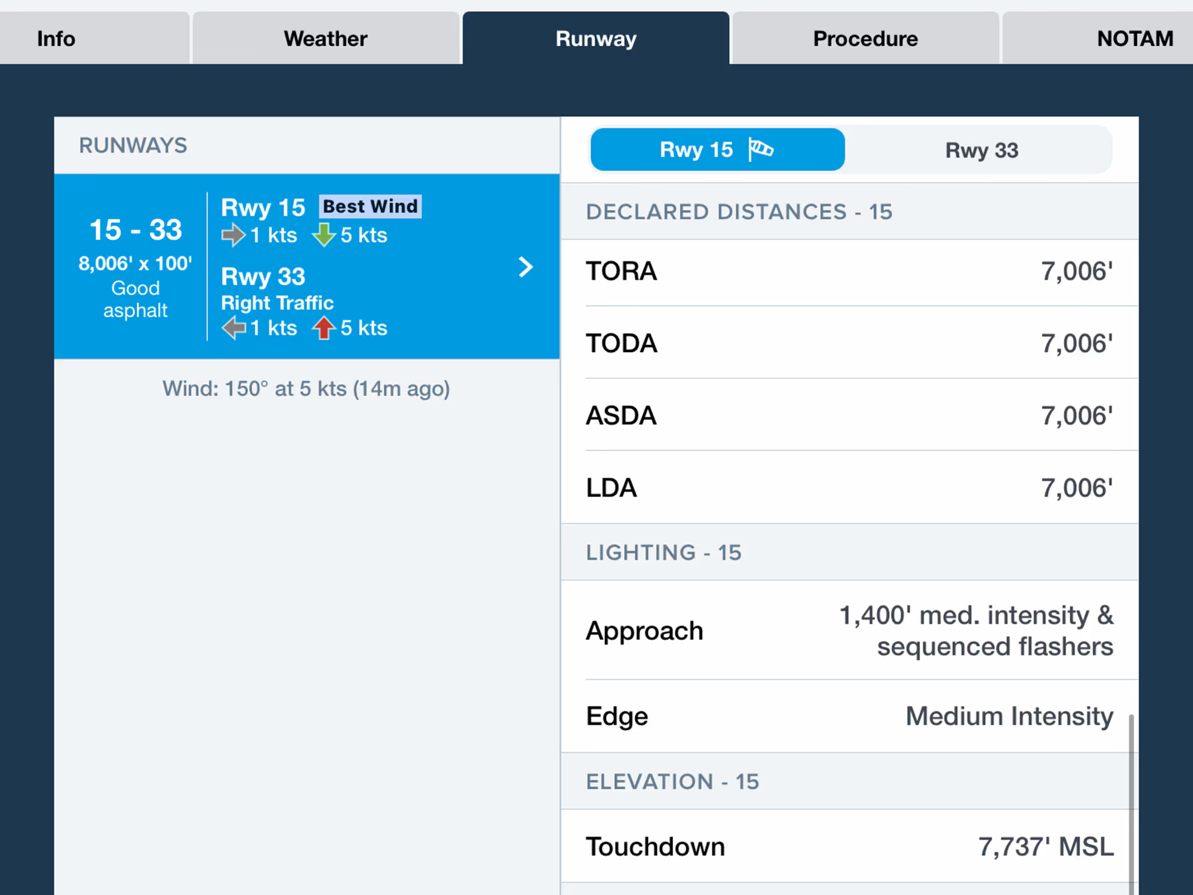
Find runway declared distances (TORA/TODA/ASDA/LDA) with new toggle in runway details.
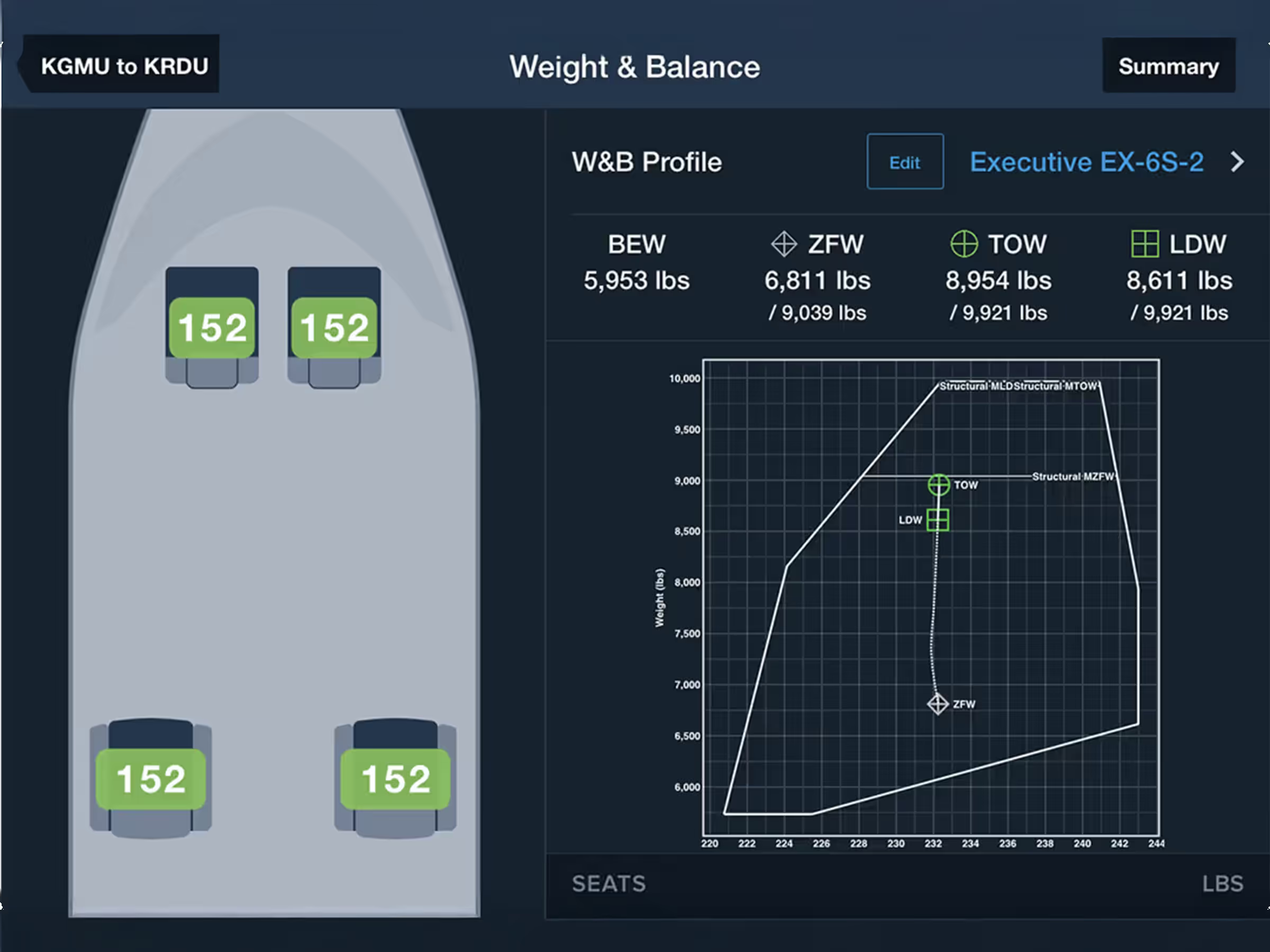
Plan W&B with an interactive cabin layout to easily enter passenger and payload details.
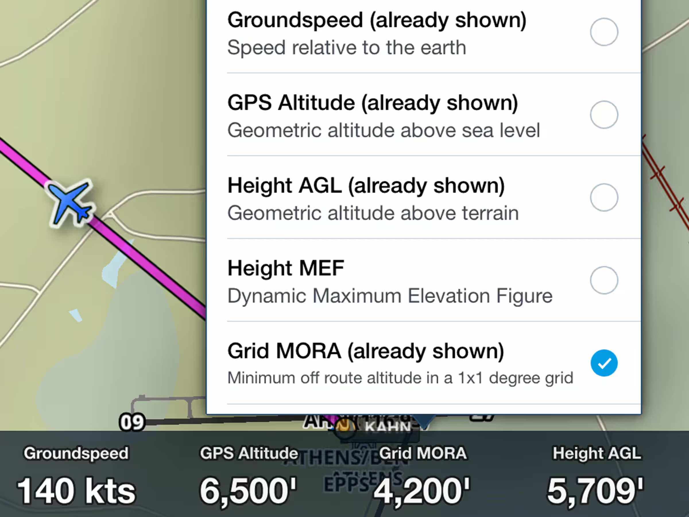
View minimum off-route altitude at your location in the Instrument Panel.

Create and file flight plans with helicopter-only airways alongside IFR Low airways.

Fly Mexico with official VFR charts showing local geographical and aeronautical details.
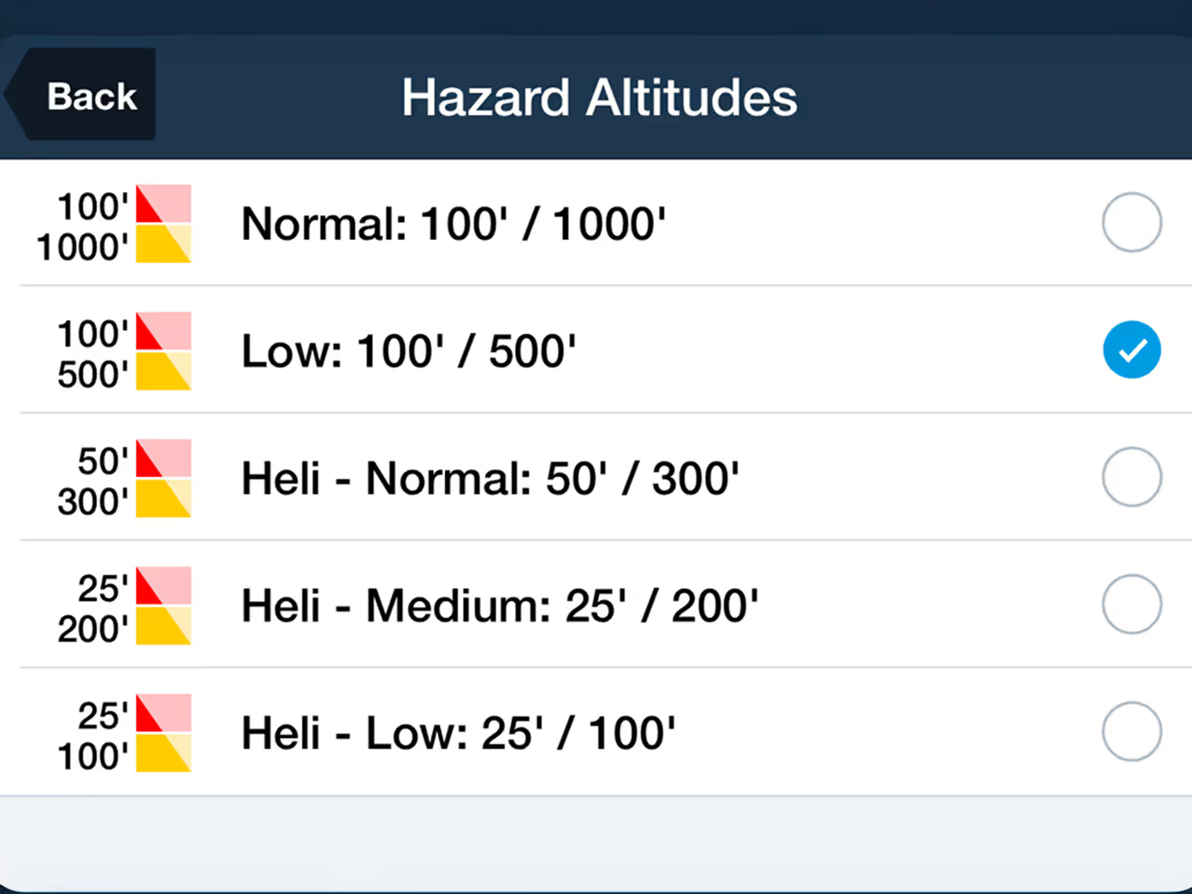
Plan with precision at lower altitudes using new 100' and 500' Hazard Altitude options.
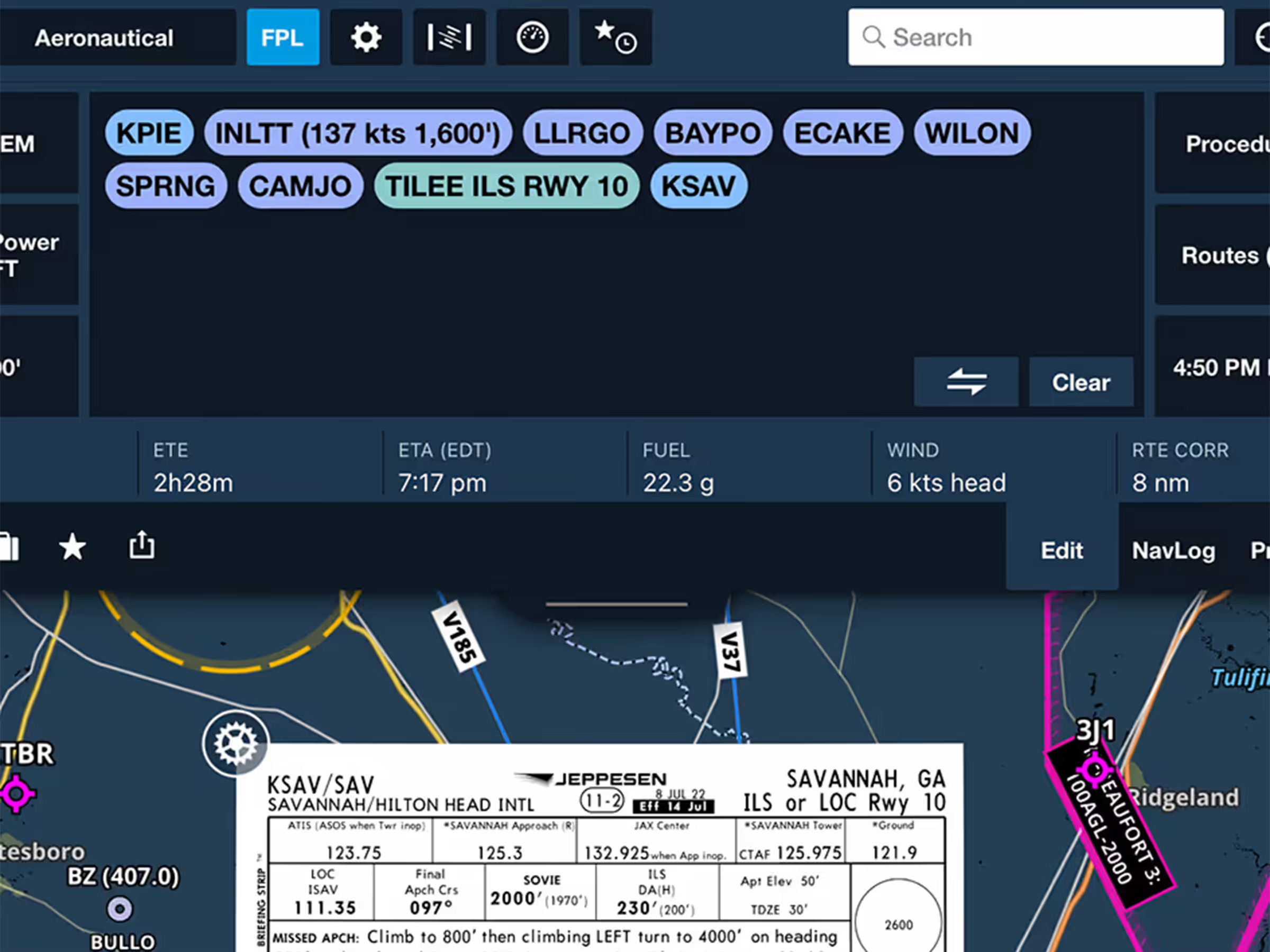
New FPL drawer strip shows key flight info with resizable view for better information display.
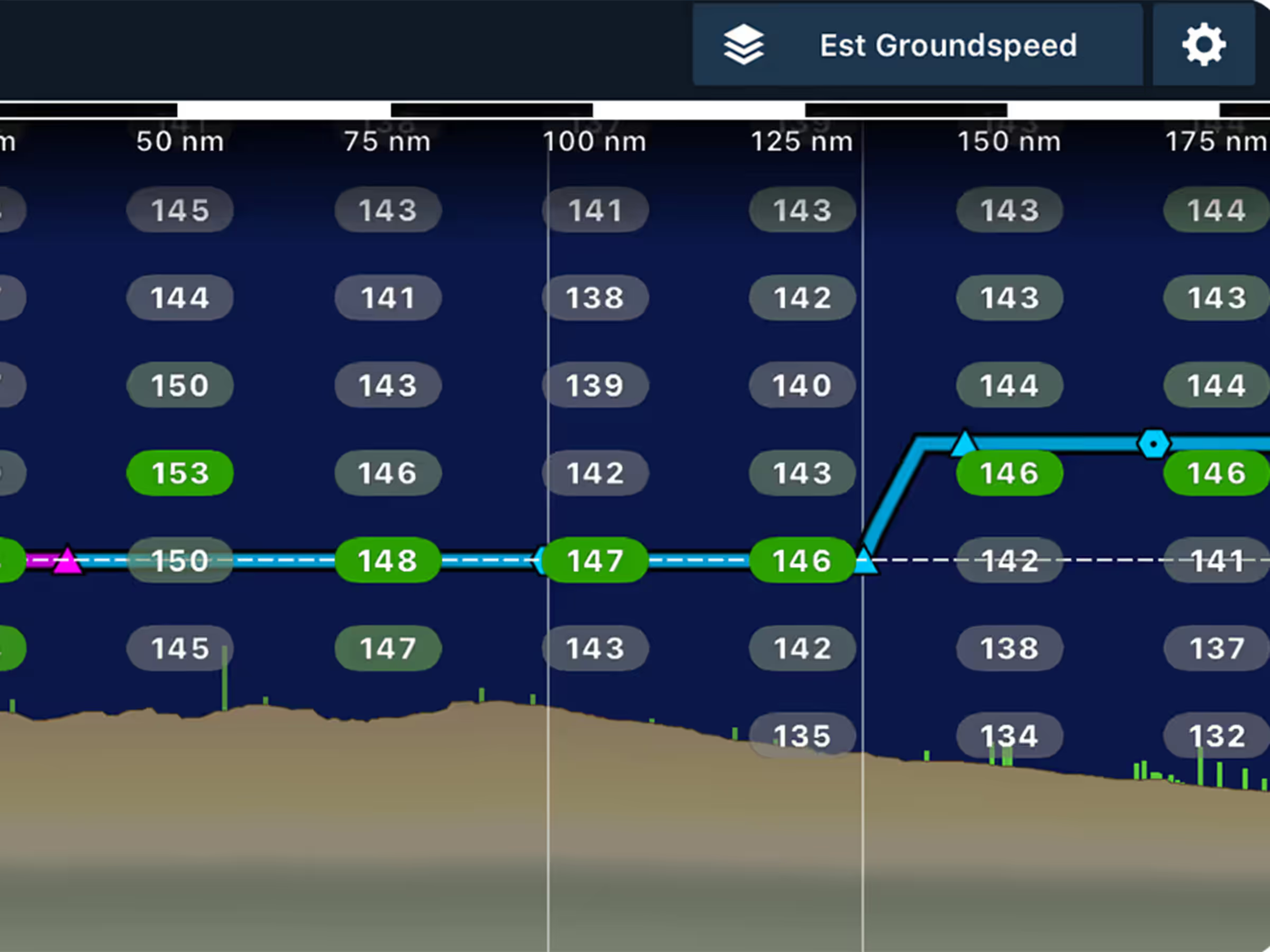
Enhance planning with head/tailwind and ground speed layers in Profile View.

New VFR chart add-ons for Northern Africa, Northern Middle East, and Japan.
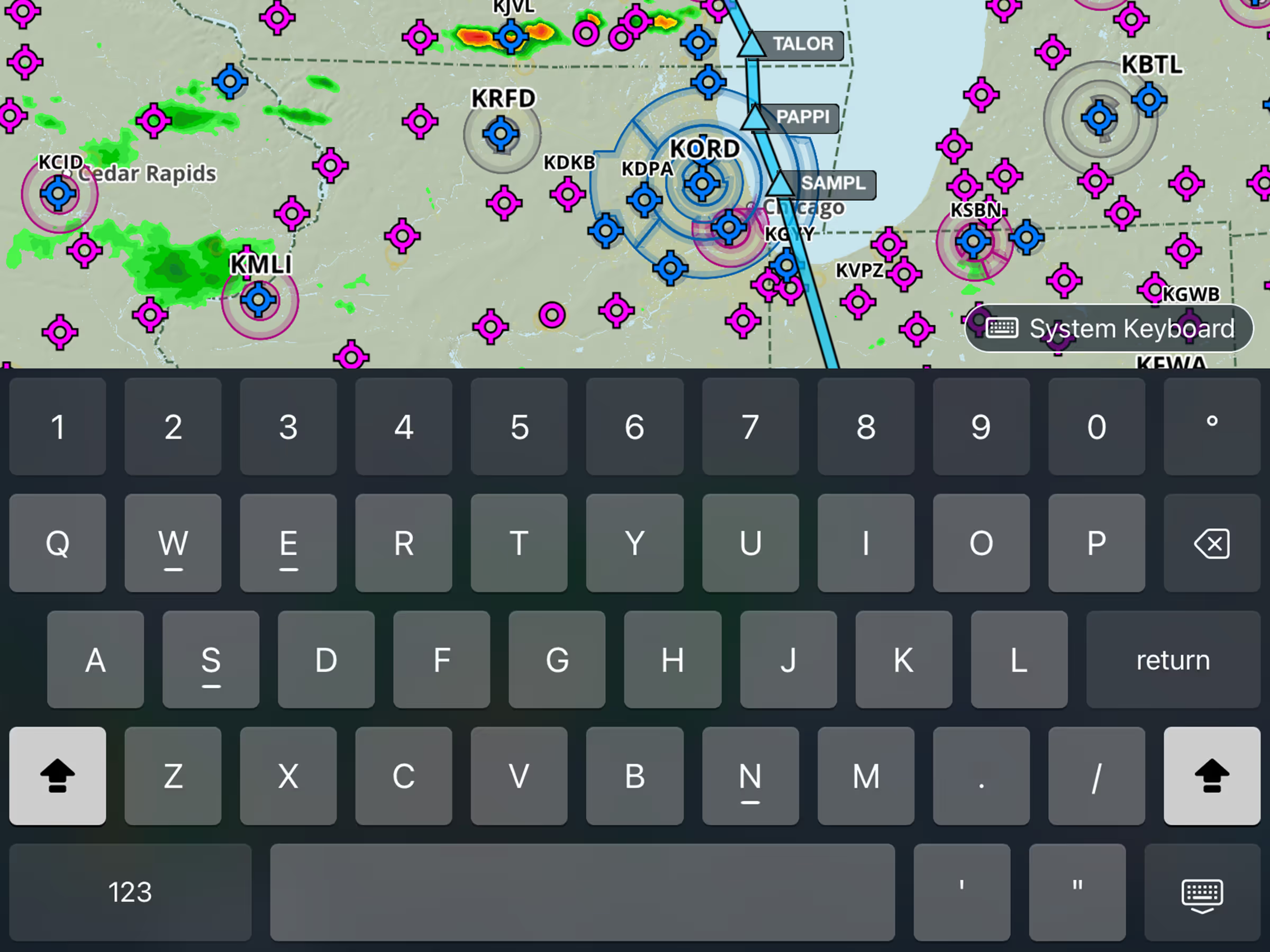
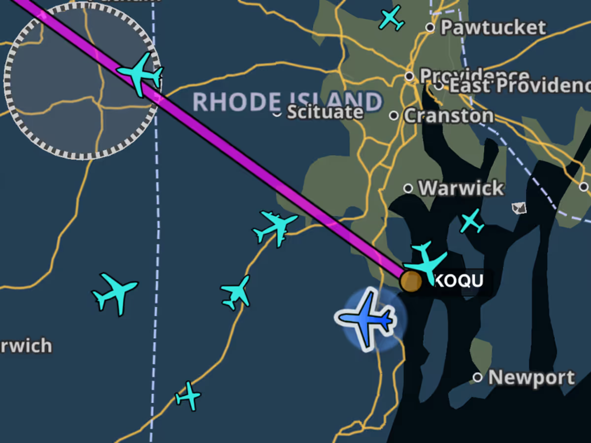
New Map Settings toggle shows aircraft types on the map using ADS-B traffic.

Added intermediate turbulence categories showing periods of lower severity with moments of higher intensity.