Essential Tools for Beginners
Getting Started with ForeFlight (January 2024)
Join ForeFlight support staff to learn everything you need to get spun up and off the ground with ForeFlight. They will demonstrate the essentials of critical workflows like using the map, setting up your aircraft, the multiple approaches to route planning, as well as tips and tricks to maximize your use of ForeFlight in no time.
Configure Chart and Data Downloads
Setting up your downloads in ForeFlight is easier than ever with new separate menus for Chart/Data selections and Region selections.
ForeFlight for Student Pilots
Join Kendall Stovall and Alex McMillan, both ForeFlight experts and active CFIs, as they explain what every student pilot needs to know about ForeFlight. They will walk you through setting up an aircraft and weight & balance, finding and uploading documents, and other features needed to plan your first flight. Kendall and Alex will also point out helpful features to help users on any subscription plan get the most out of ForeFlight.
New Customer Webinar: Basics of Flight Plan Filing (August 2022)
Enhanced and Integrated Weight & Balance
ForeFlight’s Enhanced Weight & Balance capability is now available for all customers, allowing you to more easily create, edit, and plan with your W&B profiles. The new W&B contains features like Standard Weights and Saved Loads to save you time when inputting load information. Migrate legacy W&B profiles or easily set up new ones using our pre-built templates for hundreds of aircraft.
Additionally, with ForeFlight Performance Plus you can integrate your Weight & Balance profiles with Flights, simplifying your preflight workflow and producing more accurate time and fuel calculations.
Improved Planning Features
OLD VIDEO: This video was made before the "More" tab was redesigned from a single page to a pull-out menu, but all of the capabilities you access from "More" are the same as they were before. Visit the ForeFlight Mobile Pilot's Guide.
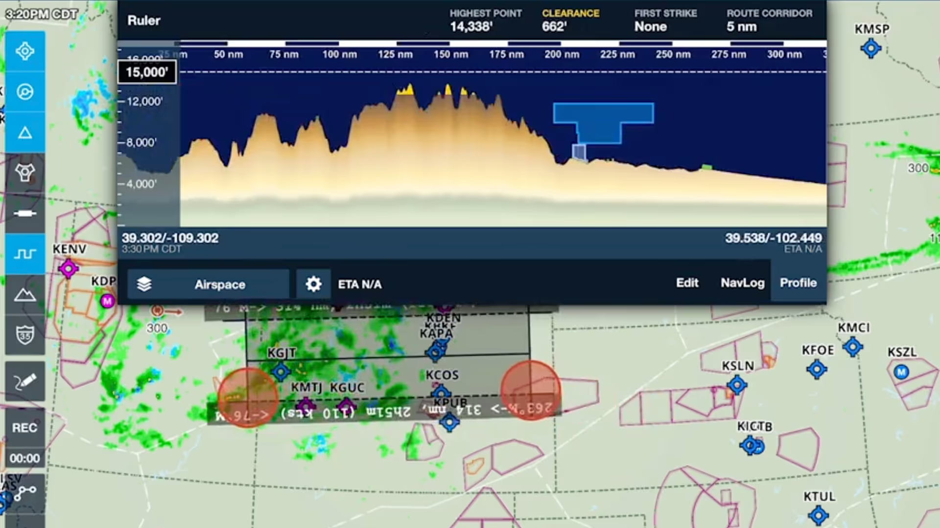
ForeFlight now offers an enhanced flight planning workflow thanks to improvements to aircraft, the Maps view flight plan editor, and the File & Brief view, which is now called “Flights”.
This video is for ForeFlight customers with subscription plans other than Performance Plus, including the original plans and the Basic Plus and Pro Plus plans. If you have the Performance Plus plan, or want to see what is different with that plan, check out our Performance video series.
Customize the Aeronautical Map
OLD VIDEO: This video was made before the "More" tab was redesigned from a single page to a pull-out menu, but all of the capabilities you access from "More" are the same as they were before. Visit the ForeFlight Mobile Pilot's Guide.
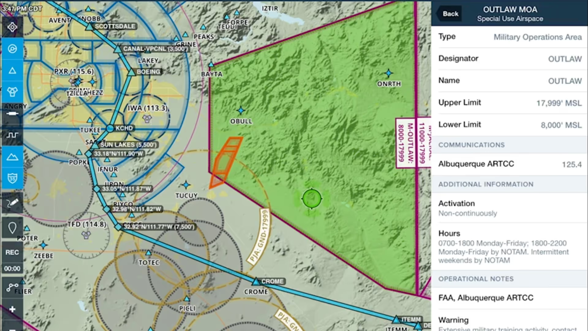
ForeFlight's data-driven Aeronautical Maps allow you to customize which map elements you show or hide. You can also choose between Light, Dark, and Classic map themes and toggle terrain features on and off. With the Aeronautical layer selected you can add or remove airspace, view high or low airways, and adjust label text size. Try mixing and matching the new map settings to find the combination that works best for you.
Enabling Terrain
Using the Airports View
OLD VIDEO: This video was made before the "Airports" tab was redesigned, but all of the capabilities you access from "More" are the same as they were before. Visit the ForeFlight Mobile Pilot's Guide.
The Airports view is your all-in-one source for any kind of information about airports. From current and forecast weather to runways, procedures, and FBOs, the Airports view is one of the most important places in ForeFlight when it comes to flight planning.
Helpful Web Features
iPad Setup Tips
This video covers some basic iPad settings we recommend to get the best experience from ForeFlight Mobile.
Distance Rings
OLD VIDEO: This video was made before the "More" tab was redesigned from a single page to a pull-out menu, but all of the capabilities you access from "More" are the same as they were before. Visit the ForeFlight Mobile Pilot's Guide.
Keep an eye on how far you are from nearby airports, obstacles, and landmarks using distance rings. You can set the rings to automatically grow and shrink as you change zoom level, or set them to display flight times rather than distances. This simple tool is a must-have for maximizing inflight situational awareness.