Quick Tips
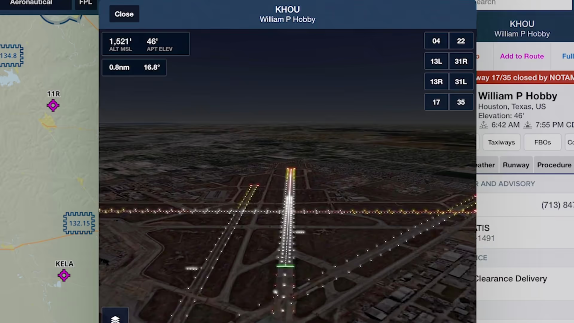
3D Airport Runway Lights
Prepare for a night approach or establish a mental picture with toggleable Day/Night modes and realistic Runway Lights in Airport 3D, available with ForeFlight Performance plans.
Next-gen airport familiarization, route previews, and postflight debriefing in interactive 3D.
Prepare for a night approach or establish a mental picture with toggleable Day/Night modes and realistic Runway Lights in Airport 3D, available with ForeFlight Performance plans.

3D Preview in ForeFlight displays markers for each waypoint in your route, allowing you to better visualize every step of your approach all the way down to the runway.
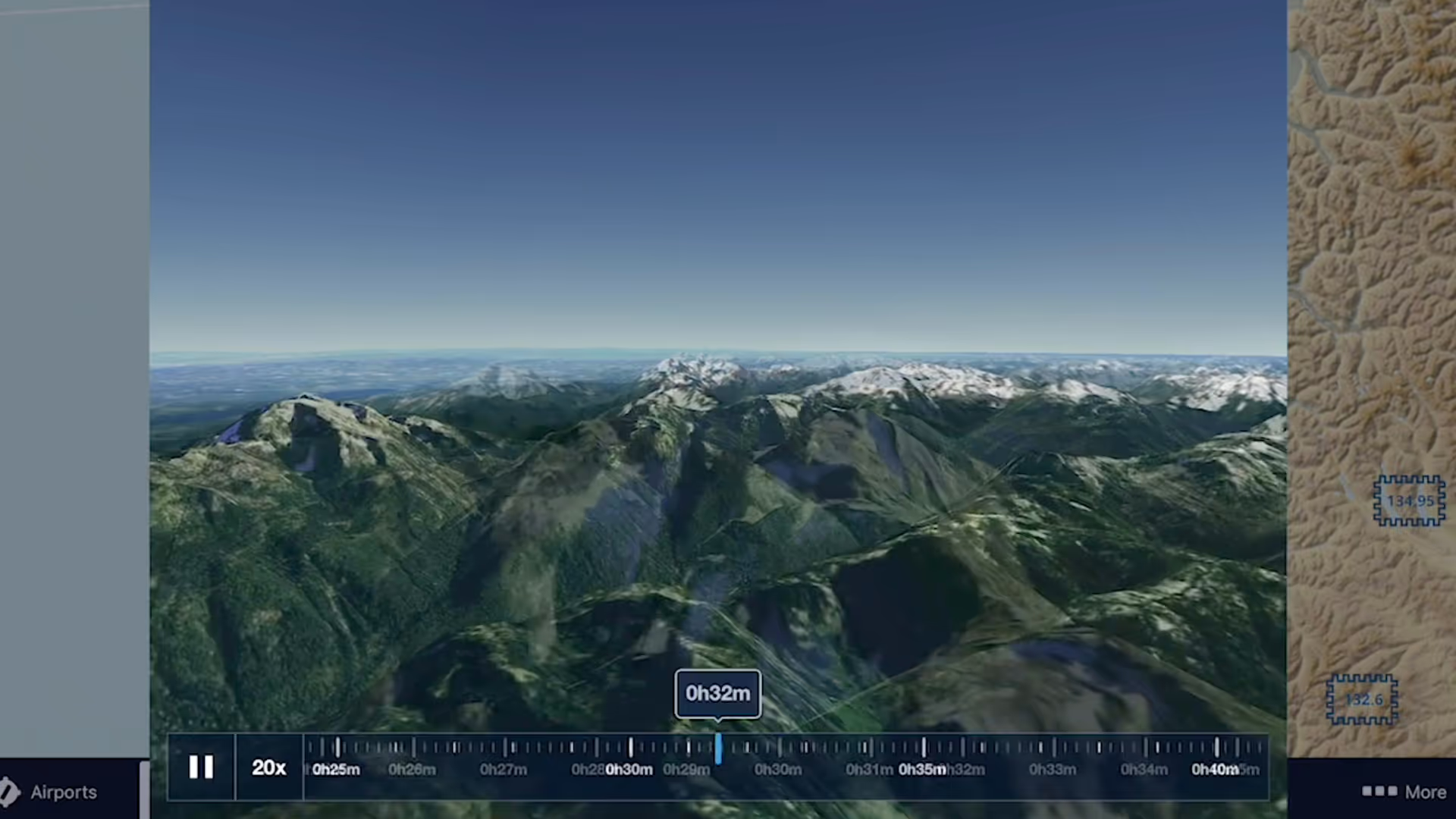
3D Review is a flight planning and debriefing capability that allows you to review planned and recorded flights with immersive 3D terrain and aerial imagery.
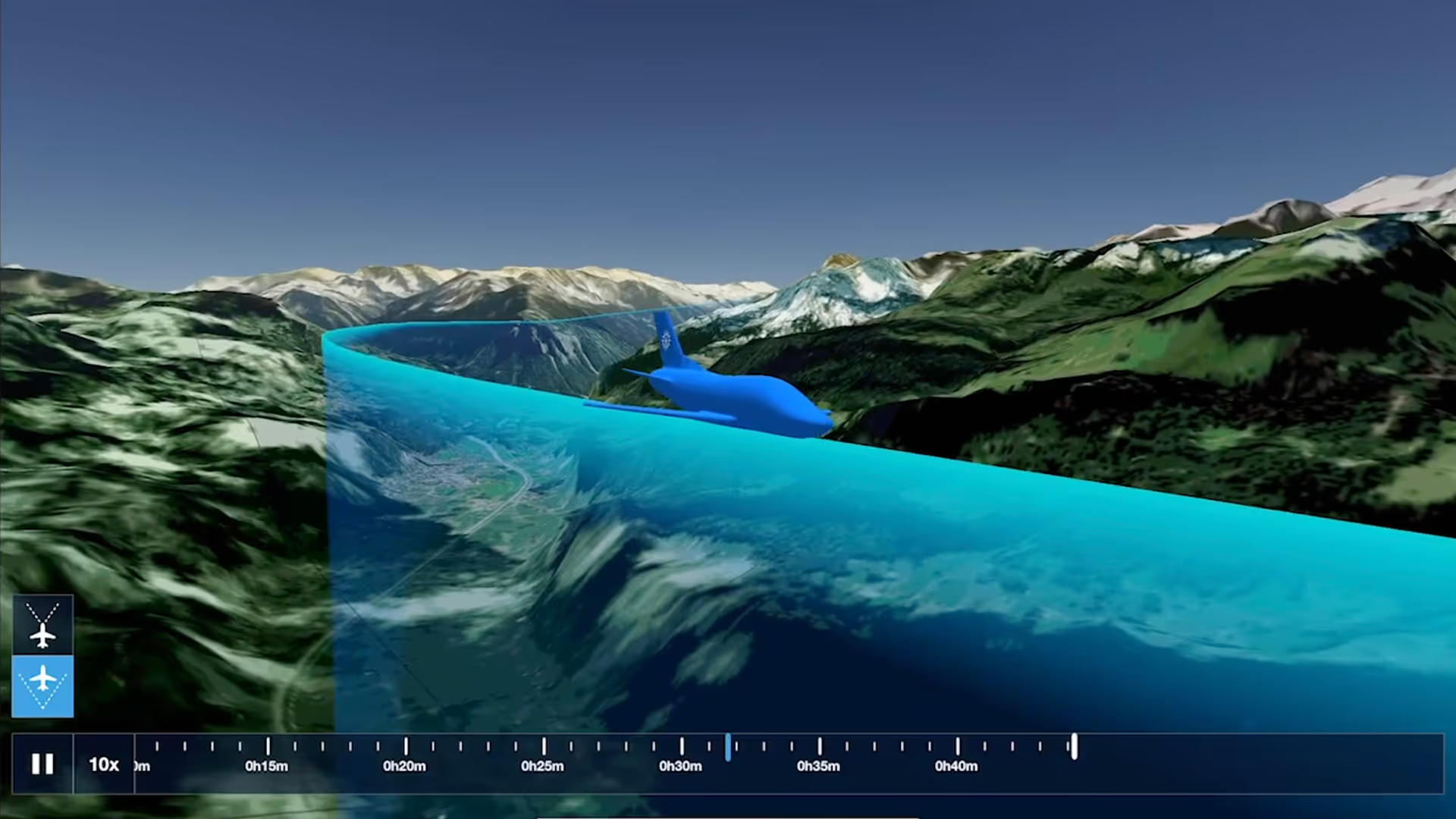
Switch between different camera modes while replaying a flight in 3D for a fully interactive experience
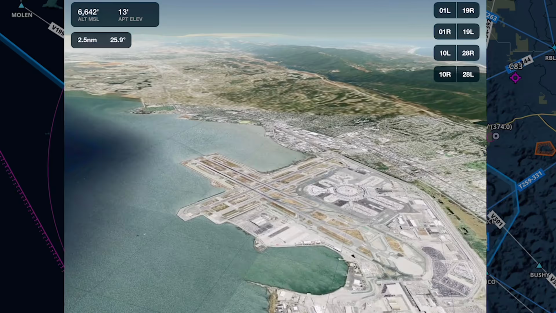
Airport 3D View is an interactive preview that combines terrain and aerial imagery to help you get familiar with new airports anywhere in the world
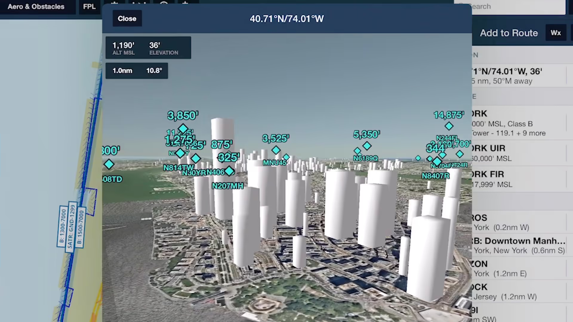
Spot potential hazards along your route and establish a mental picture of final approach with the help of Obstacles in ForeFlight's 3D View suite

Follow live approaches, landings, and takeoffs in 3D with FlightAware-sourced Internet Traffic in 3D Airports, available with Performance Plus and Business Performance subscription plans.
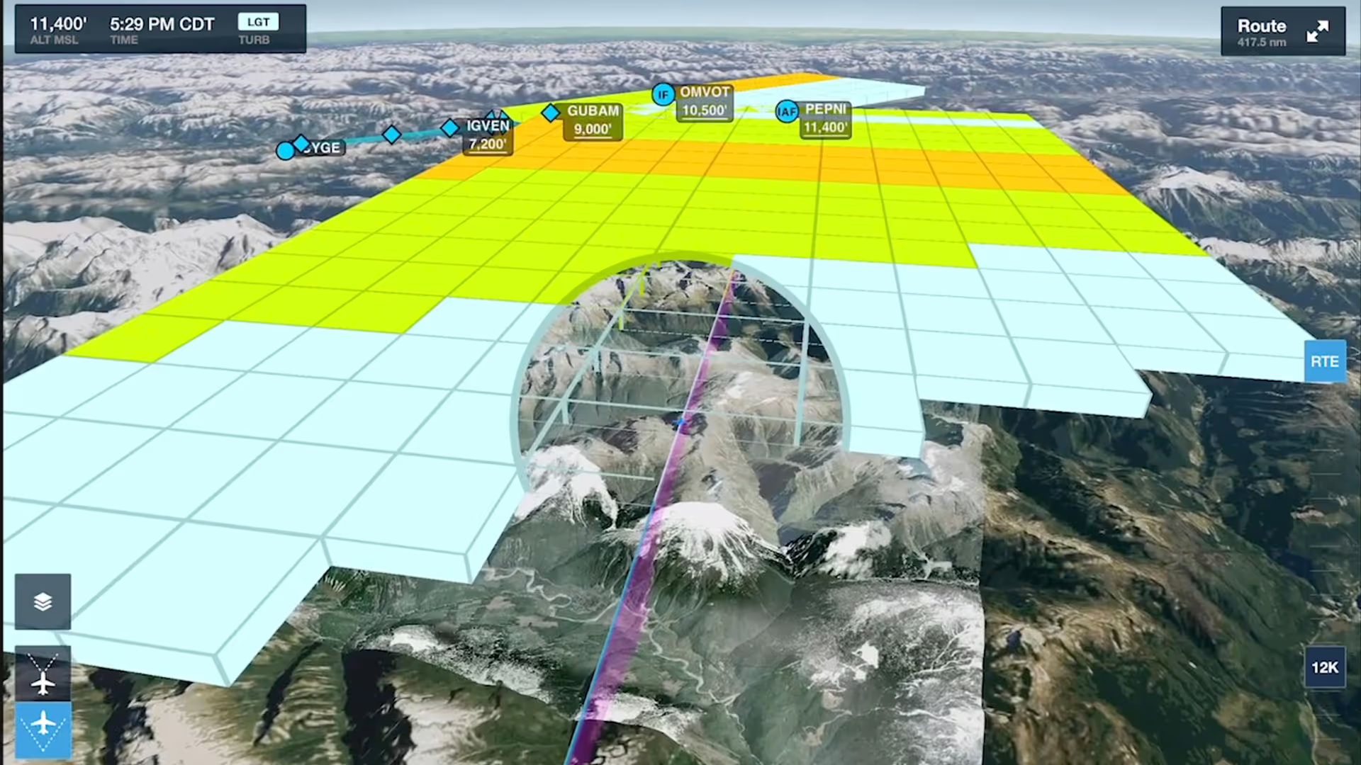
Enhance your preflight weather planning with interactive Icing and Turbulence forecast layers in 3D Preview, available with ForeFlight’s Performance Plus and Business Performance subscription plans.