No items found.
Skip to main content

Weather

Explore a full range of weather products for comprehensive preflight planning

Weather Imagery

Weather Imagery

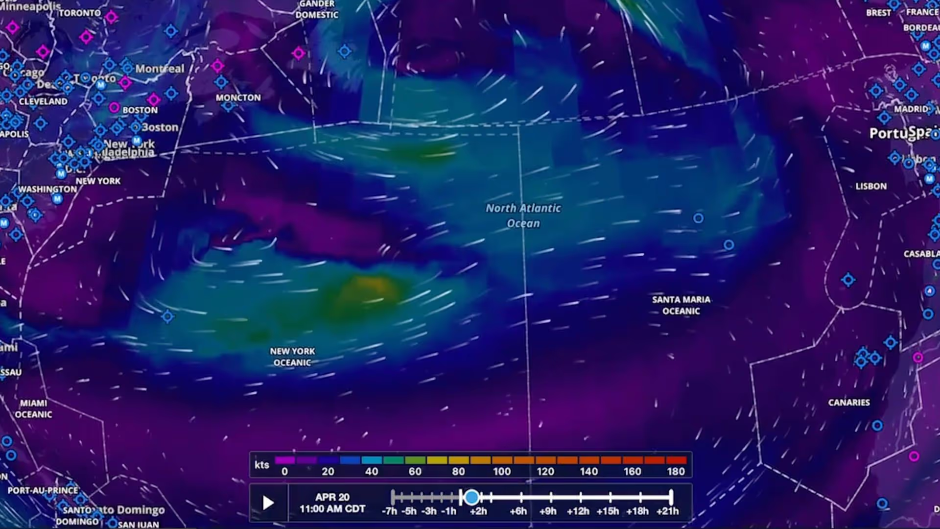
North Atlantic Ocean wind speed map with color scale and timestamps from Apr 20, 11:00 AM CDT.
Feature Focus

Forecast Windspeed & Temperature Layers

Plan flights with global forecast wind speed, direction and temperatures at multiple altitudes and times using two animated weather layers. Both layers are available with ForeFlight Performance plans.
Dynamic Weather Layers

Dynamic Weather Layers

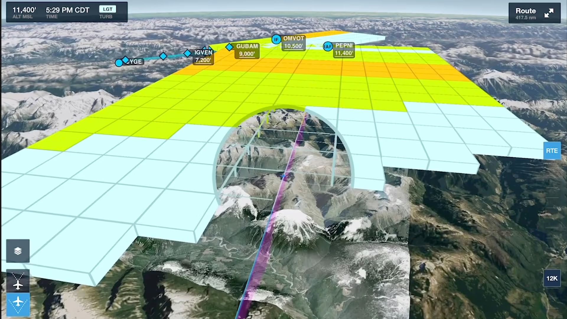
3D flight map showing altitude zones over mountainous terrain with waypoints and route info.
Feature Focus

Forecast Weather in 3D Preview

Enhance your preflight weather planning with interactive Icing and Turbulence forecast layers in 3D Preview, available with ForeFlight’s Performance Plus and Business Performance subscription plans.

Webinar

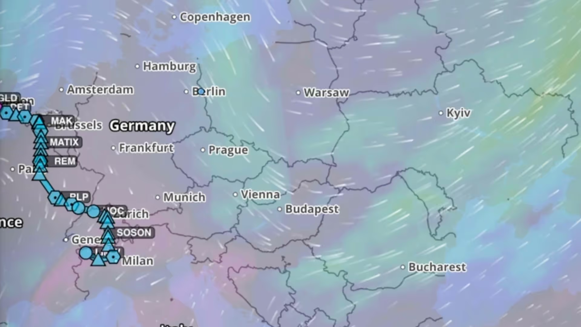
Aviation Weather for Europe

Join ForeFlight Pilot Support Team member Wolfgang Oestreich to learn how to get the most out of ForeFlight’s weather features in Europe.

Inflight Weather

Inflight Weather

3D flight map showing altitude zones over mountainous terrain with waypoints and route info.
Feature Focus

Forecast Weather in 3D Preview

Enhance your preflight weather planning with interactive Icing and Turbulence forecast layers in 3D Preview, available with ForeFlight’s Performance Plus and Business Performance subscription plans.

Webinar

Aviation Weather for Europe

Join ForeFlight Pilot Support Team member Wolfgang Oestreich to learn how to get the most out of ForeFlight’s weather features in Europe.

Weather Map Layers

Weather Map Layers

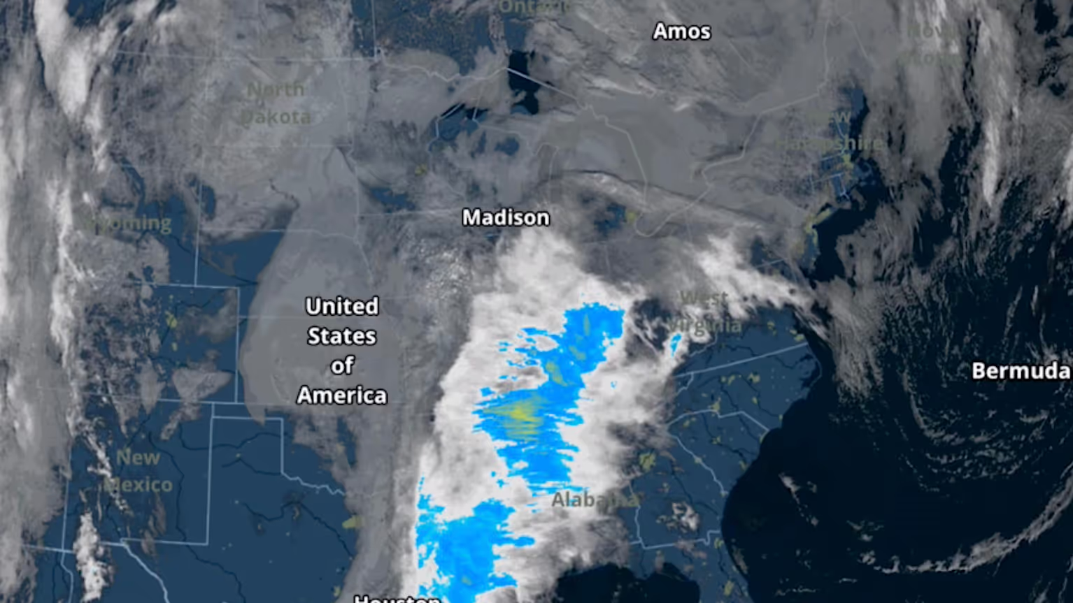
Satellite image showing cloud cover and precipitation over central and eastern United States.
Feature Focus

Color IR Satellite Layer

The Color infrared Satellite layer is an alternative to the original satellite layer (now called Enhanced Satellite) that extends ForeFlight's weather planning capabilities.

North Atlantic Ocean wind speed map with color scale and timestamps from Apr 20, 11:00 AM CDT.
Feature Focus

Forecast Windspeed & Temperature Layers

Plan flights with global forecast wind speed, direction and temperatures at multiple altitudes and times using two animated weather layers. Both layers are available with ForeFlight Performance plans.
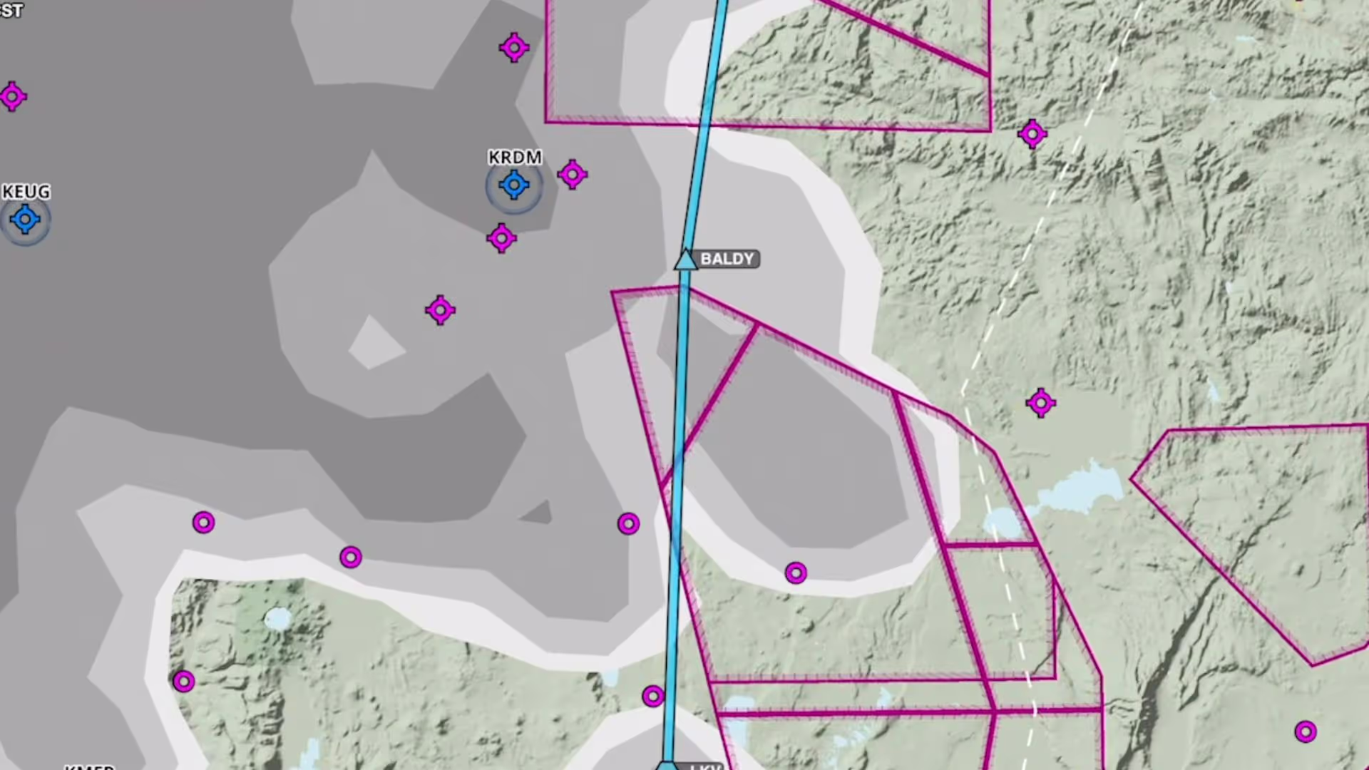
Map showing cloud coverage with gray shaded areas, magenta boundaries, and blue flight path near Baldy.
Feature Focus

Forecast Cloud Coverage Layer

Plan to steer clear of clouds at any altitude with the Clouds forecast weather layer, available as a map layer for Pro Plus subscription plans and above.