
Flying & Navigation
Hazard Awareness
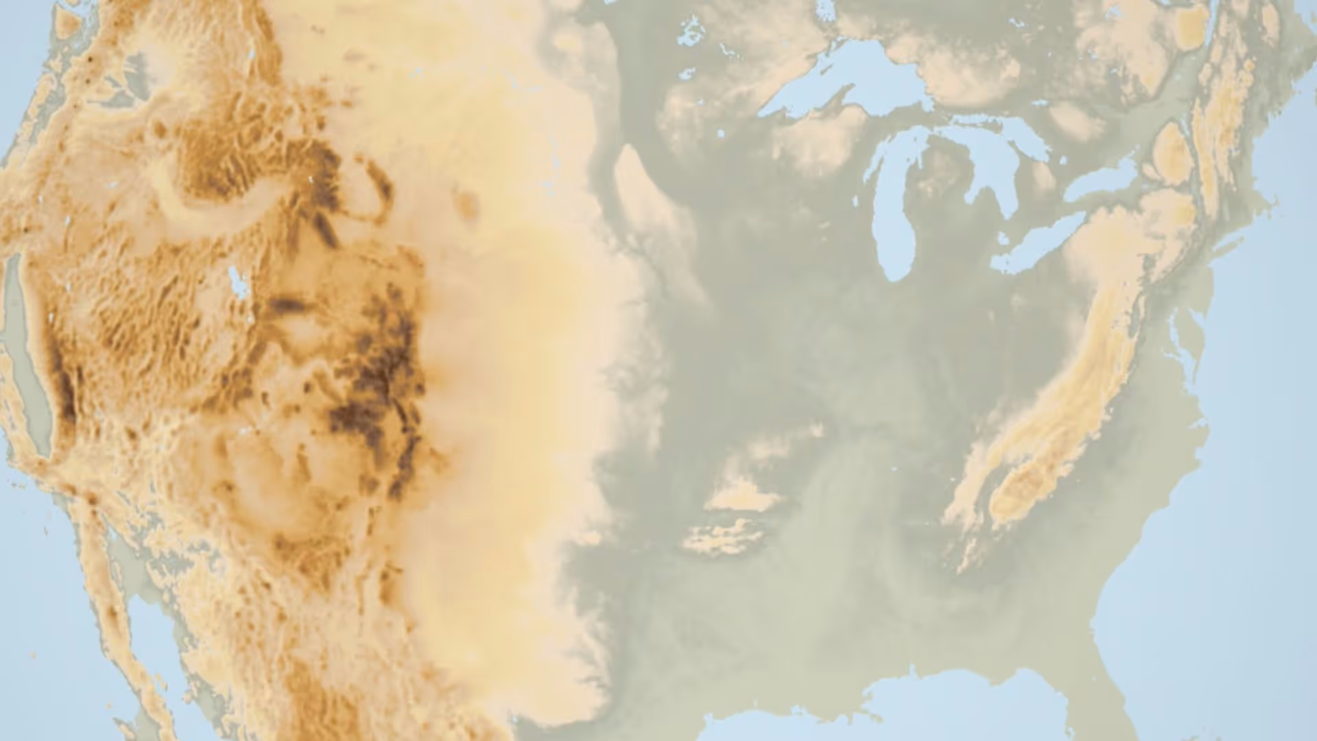
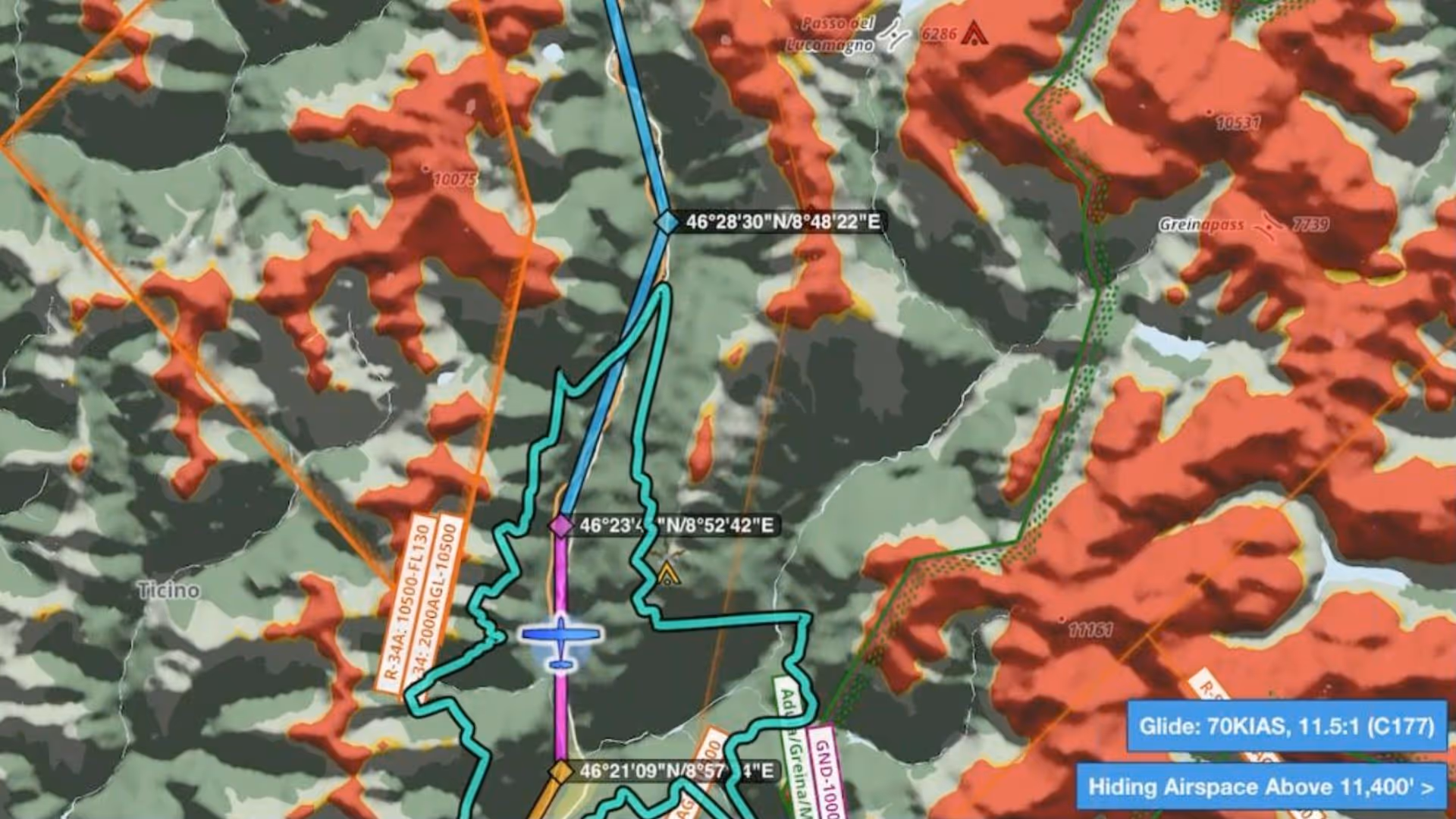
No sneak peaks with ForeFlight's powerful terrain and obstacle avoidance features.

Watch our latest videos and featured playlists to learn tips, tricks, and best practices for using ForeFlight like a pro.
No sneak peaks with ForeFlight's powerful terrain and obstacle avoidance features.

Plan and fly with industry-leading IFR charts, airport diagrams, and more in ForeFlight.

Get the full weather picture, from up-to-the-minute radar and satellite to global forecast layers.

Learn about powerful and underutilized features, whether you're brand new or a ForeFlight veteran.
Having trouble finding the Terrain layer in ForeFlight 8? It just moved next door to the Map Settings menu. You can also recreate the World Map from the Map Settings menu by turning on Place Labels.

Join ForeFlight Pilot Support Team Manager Josh Berman and Senior iOS Engineer Atlas Wegman to learn how ForeFlight can help you stay safe and aware during winter flying.
Join Susan DeCastro and Chris Mauser as they discuss the benefits of incorporating ForeFlight into flight training from the student’s perspective.
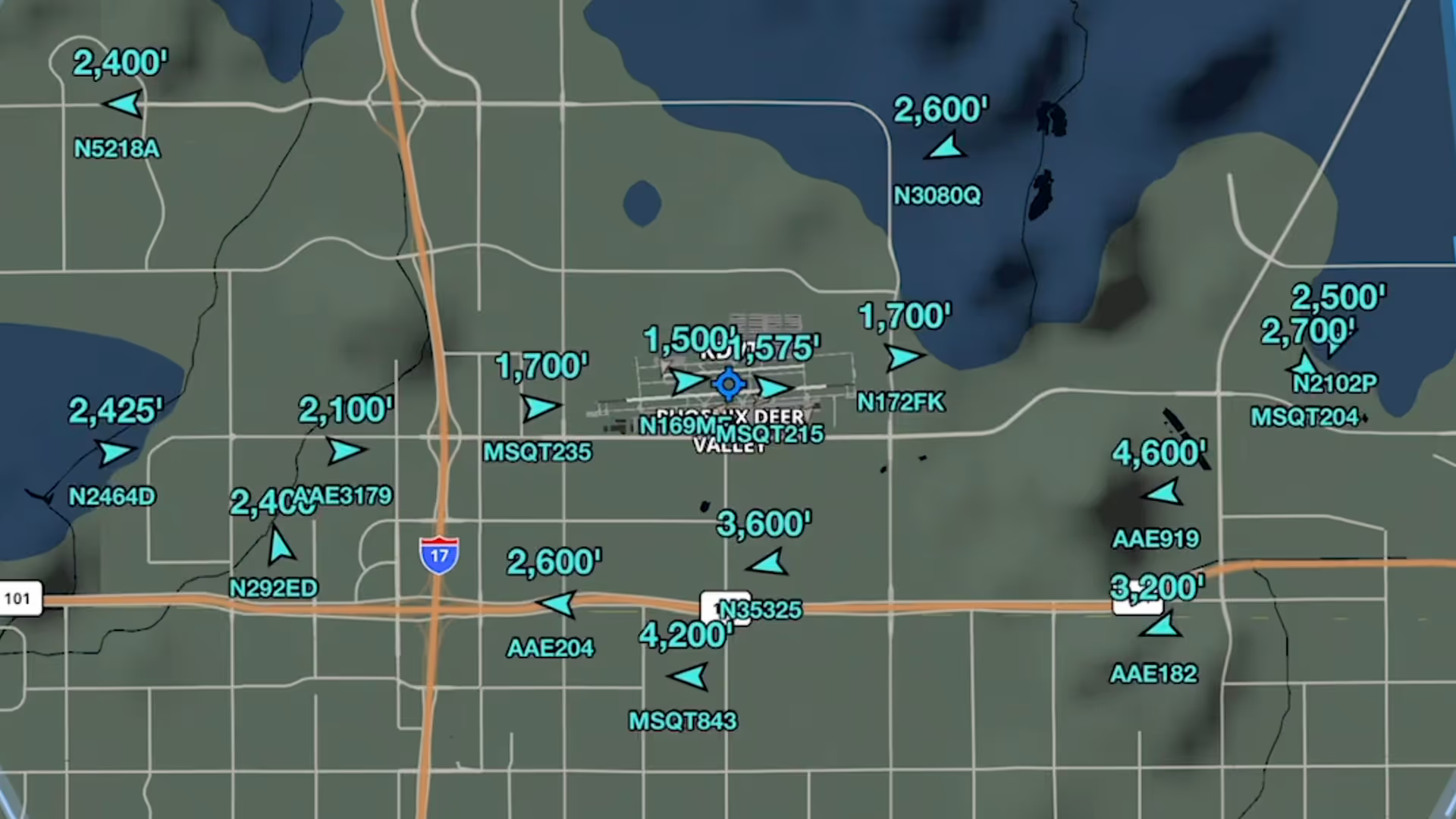
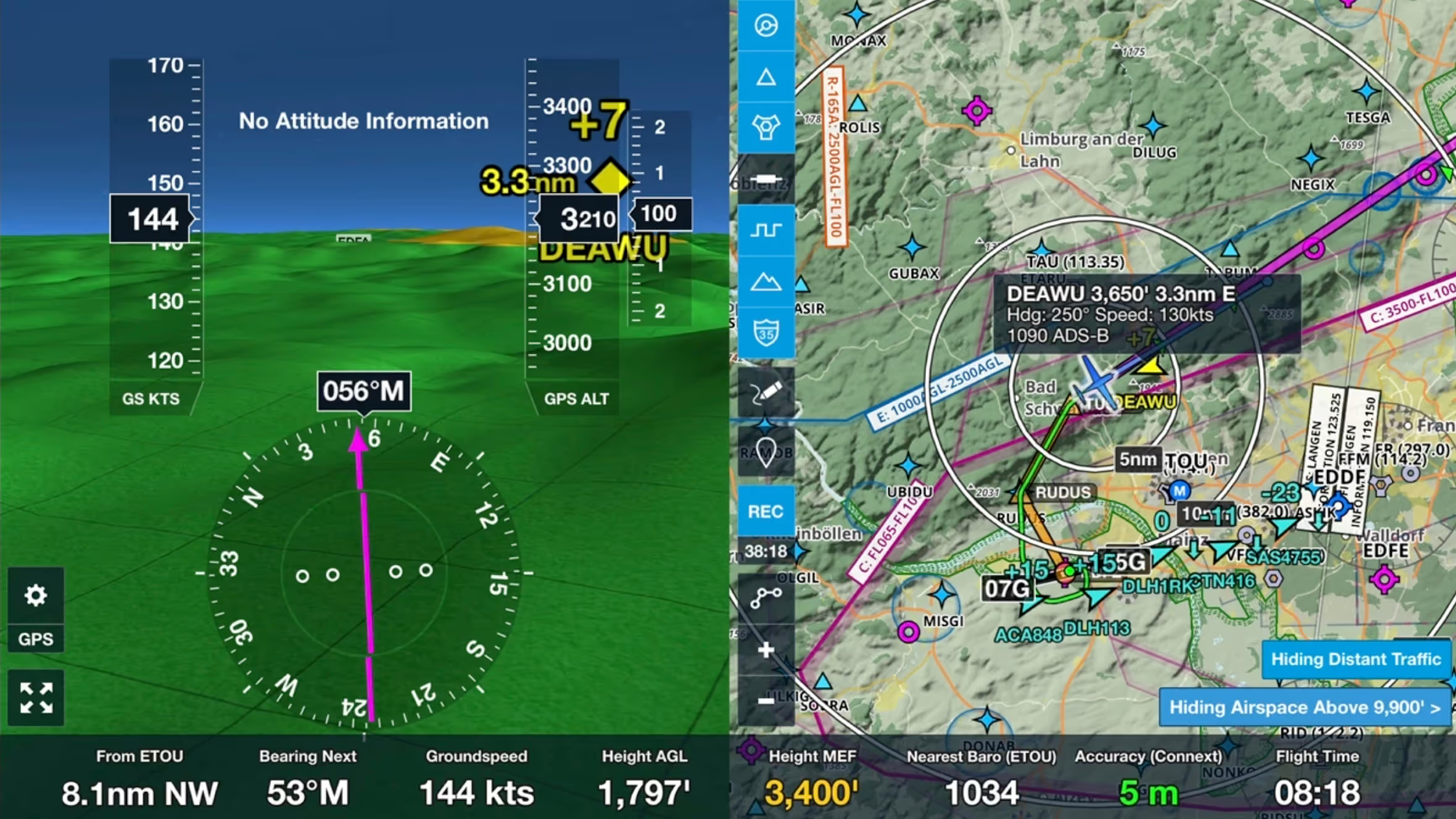
Stream live global aircraft traffic directly in ForeFlight with the Internet Traffic feature
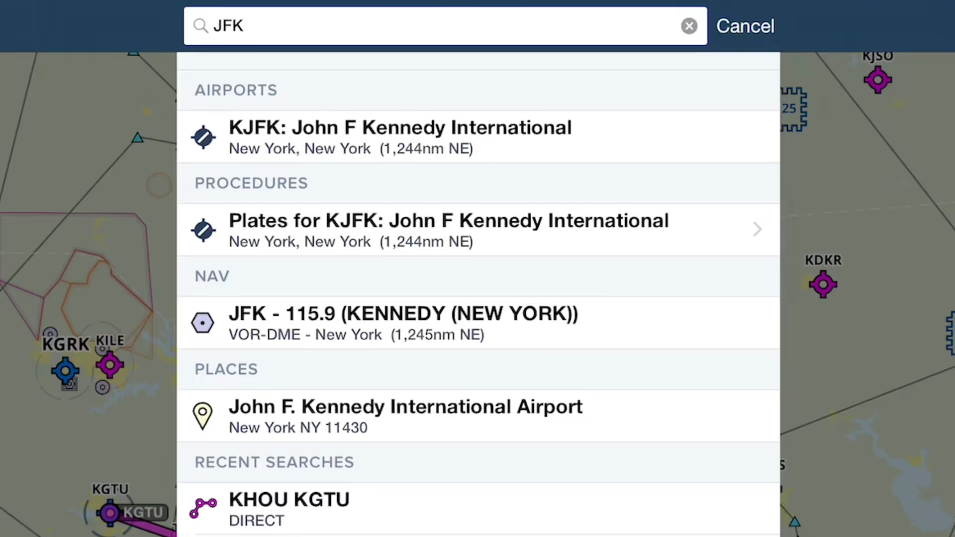
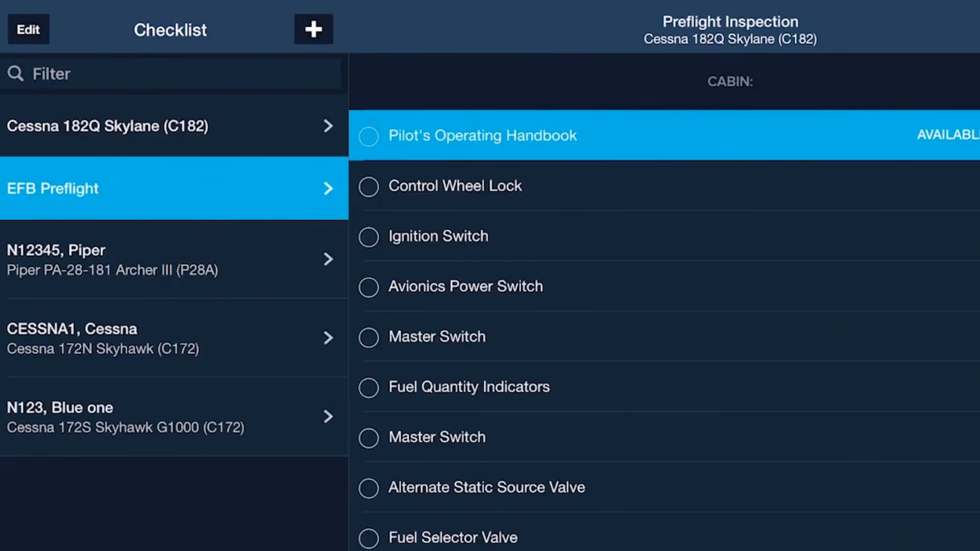
ForeFlight provides an unified search capability that makes it easier and faster to find what you're looking for, and saves past searches for quick access.
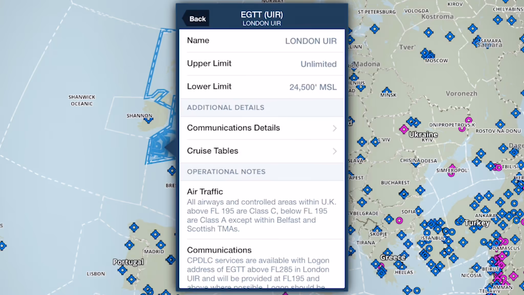
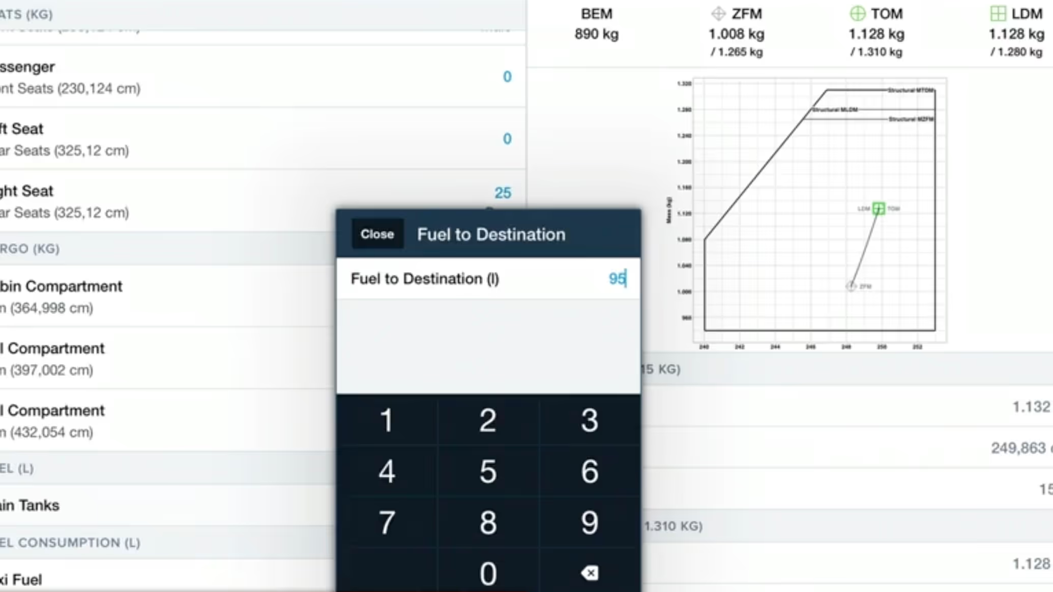
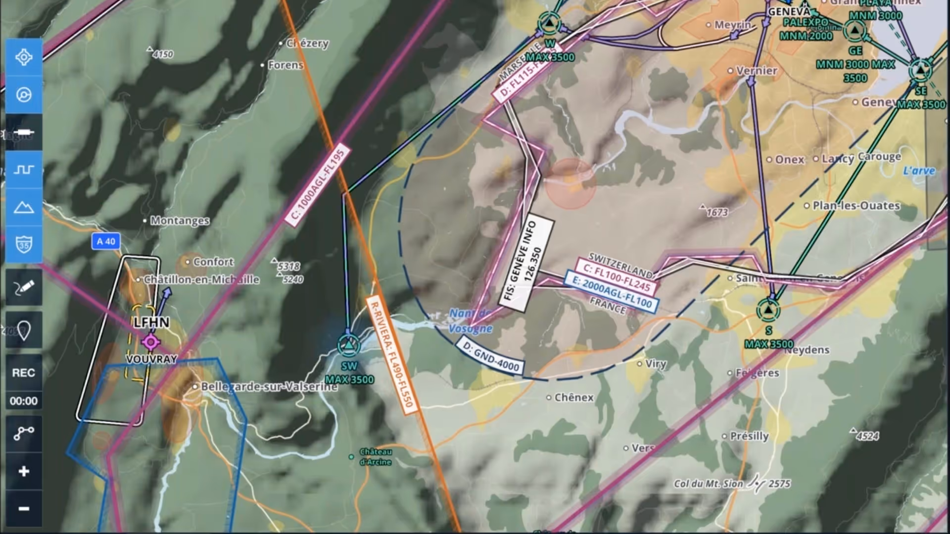
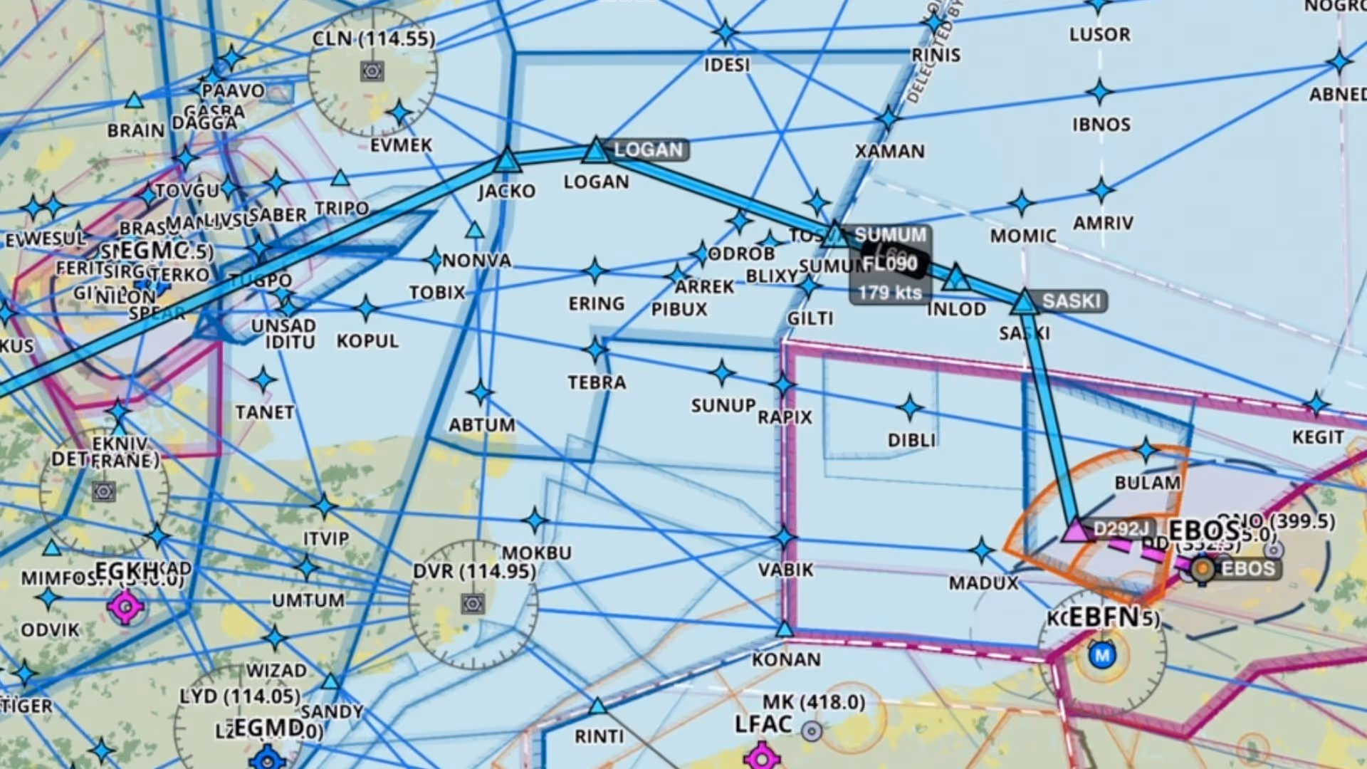
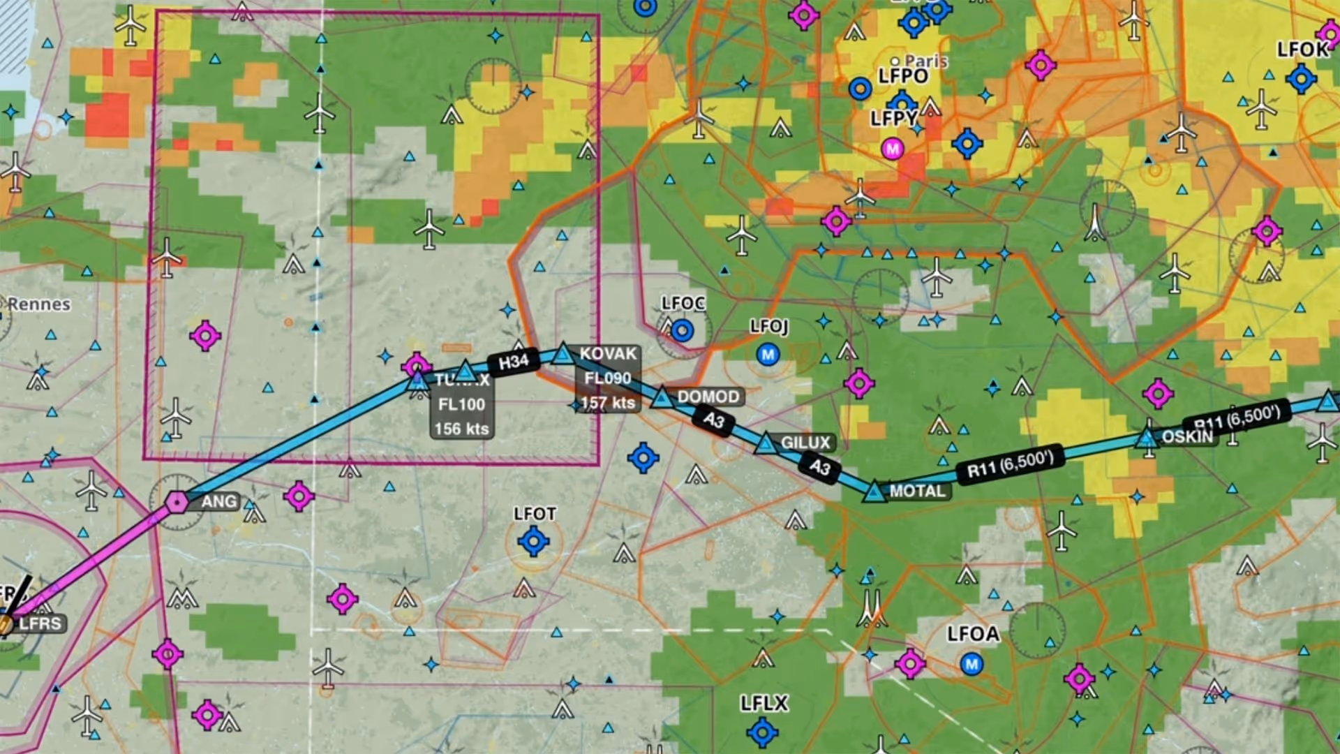
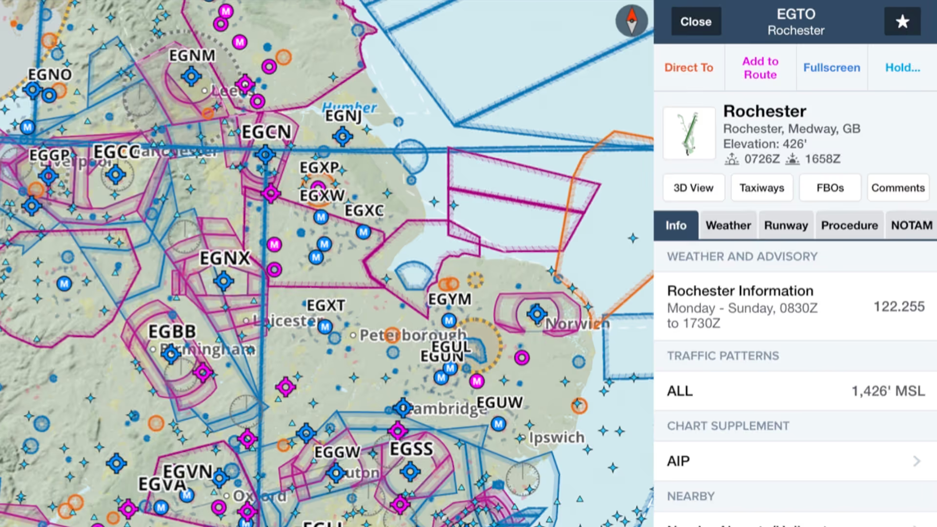
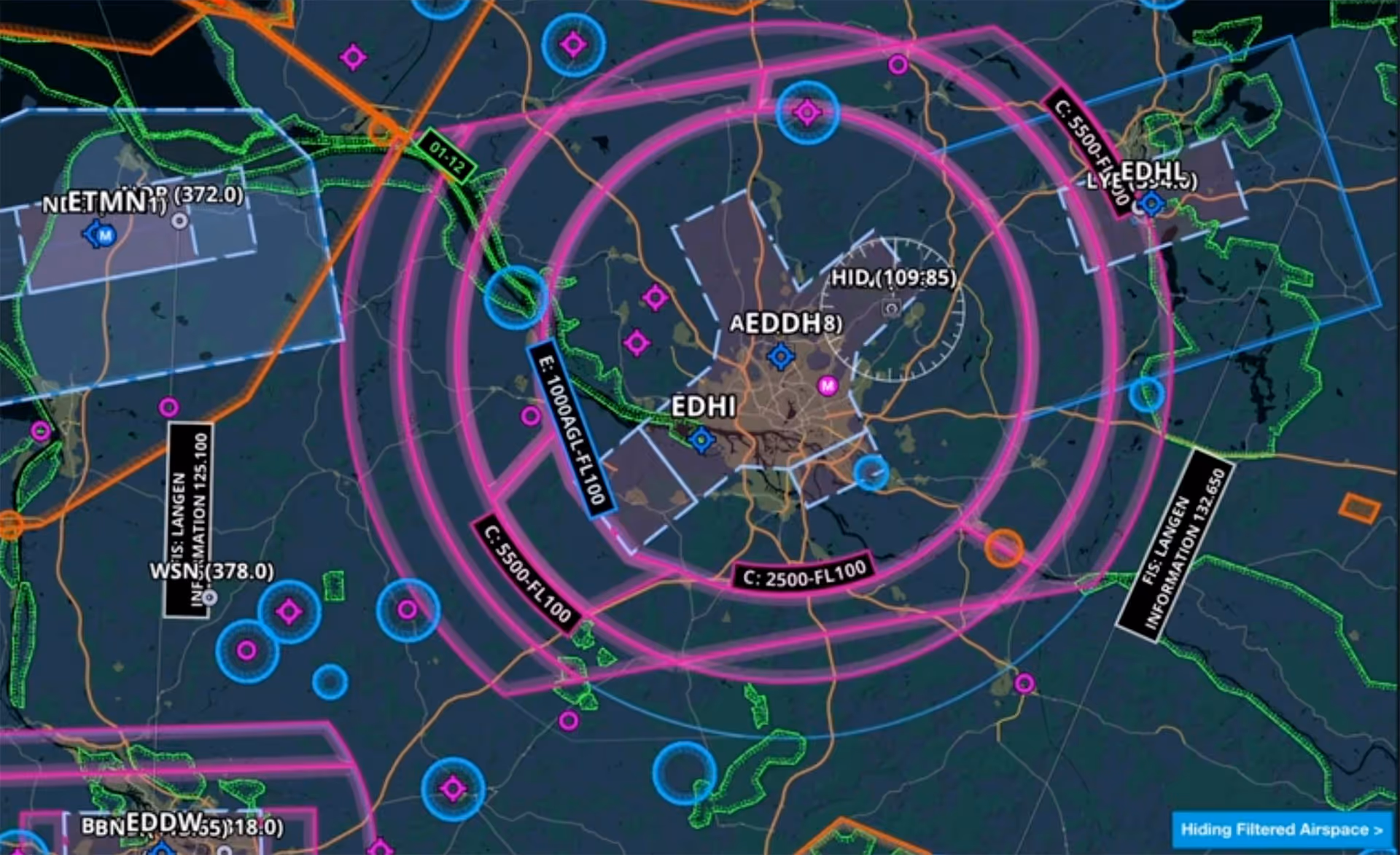
ForeFlight provides advanced global airspace details for FIRs, UIRs, and other airspace types, with important information about frequencies, cruise altitudes, and operational notes.
Join Cole Crawford of ForeFlight, John Zimmerman of Sporty’s, and Ryan Braun of uAvionix for an engaging and informative discussion about ForeFlight’s Sentry and Sentry Mini ADS-B receivers
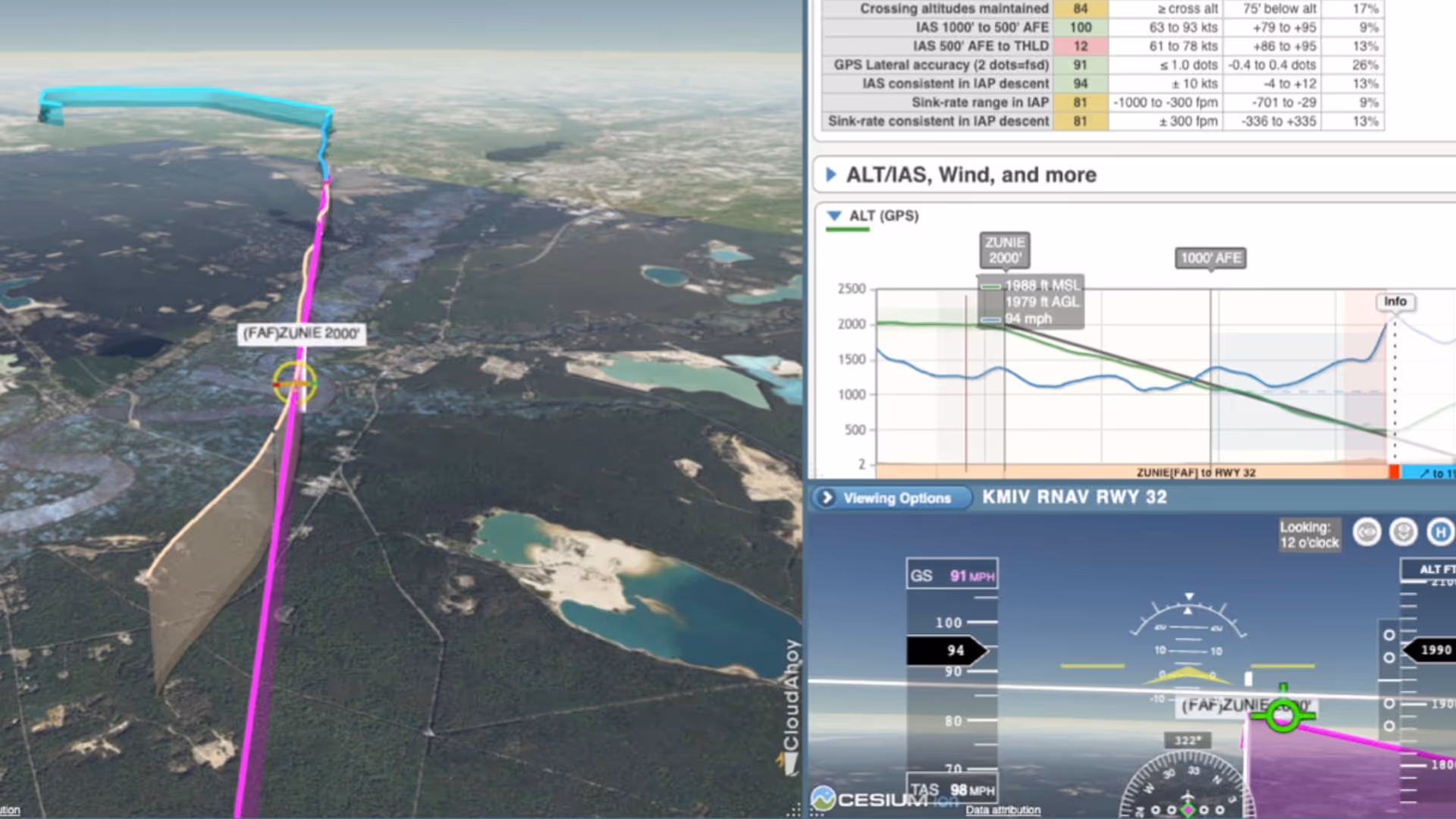
Join ForeFlight staff to learn how CloudAhoy’s powerful and intuitive debriefing tools can help pilots of all experience levels learn from every flight and hone their flying skills.
The last video in our Getting Started series for European subscribers shows how to plan a route on the Maps view and more.
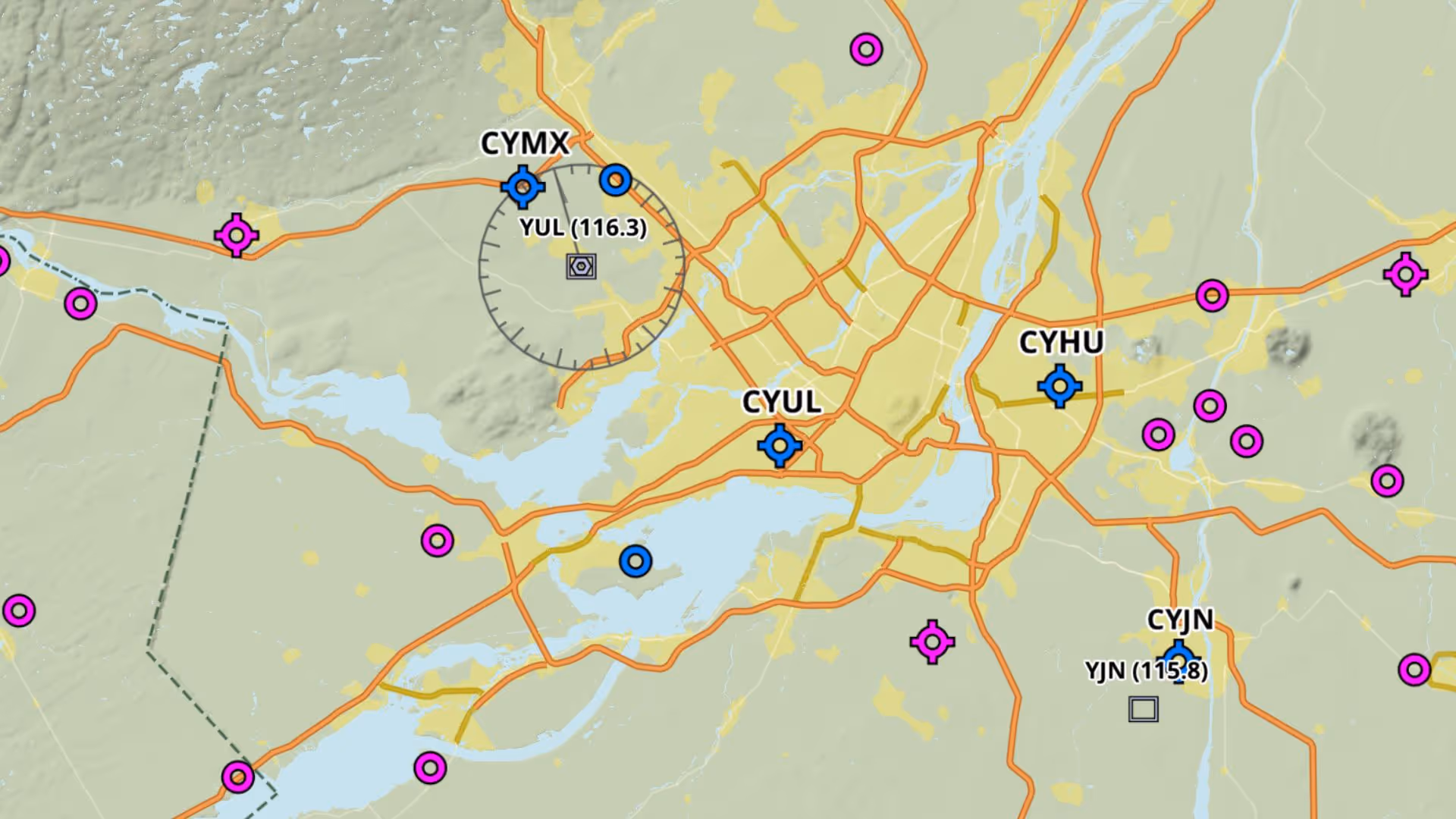
Join ForeFlight Pilot Support Team members and Canadian pilots Adrian Tegler and Dominik Ochmanek to learn the top 10 things Canadian pilots should know about planning and flying with ForeFlight.
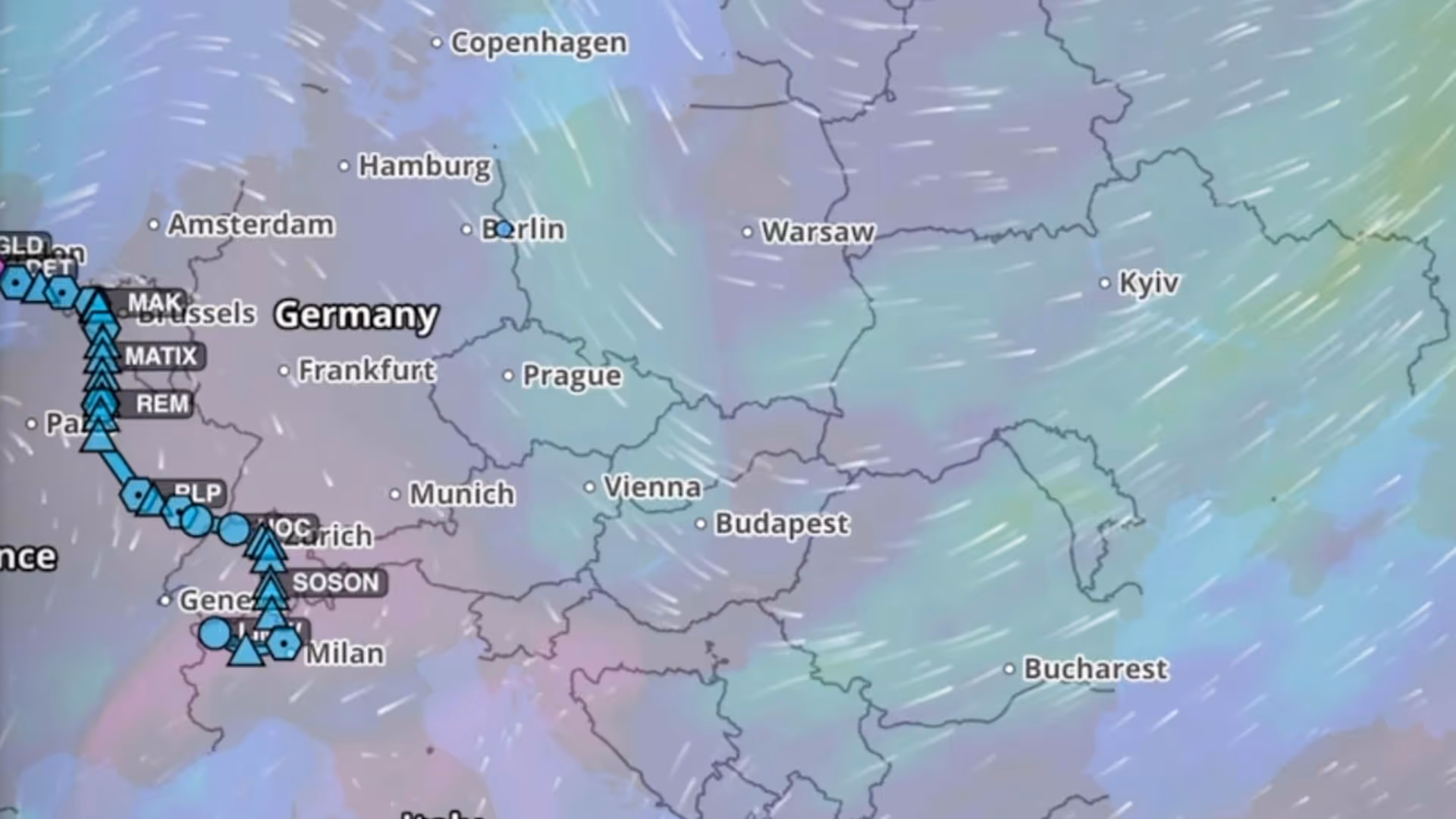
Flying in Europe has many unique challenges such as complex airspace structures, many sources of information, and a diverse patchwork of standards and regulations.
Join ForeFlight Team Lead and CFII Thomas Daugherty as he walks through helpful tips and strategies for out-of-practice pilots to get back in the air with ForeFlight!

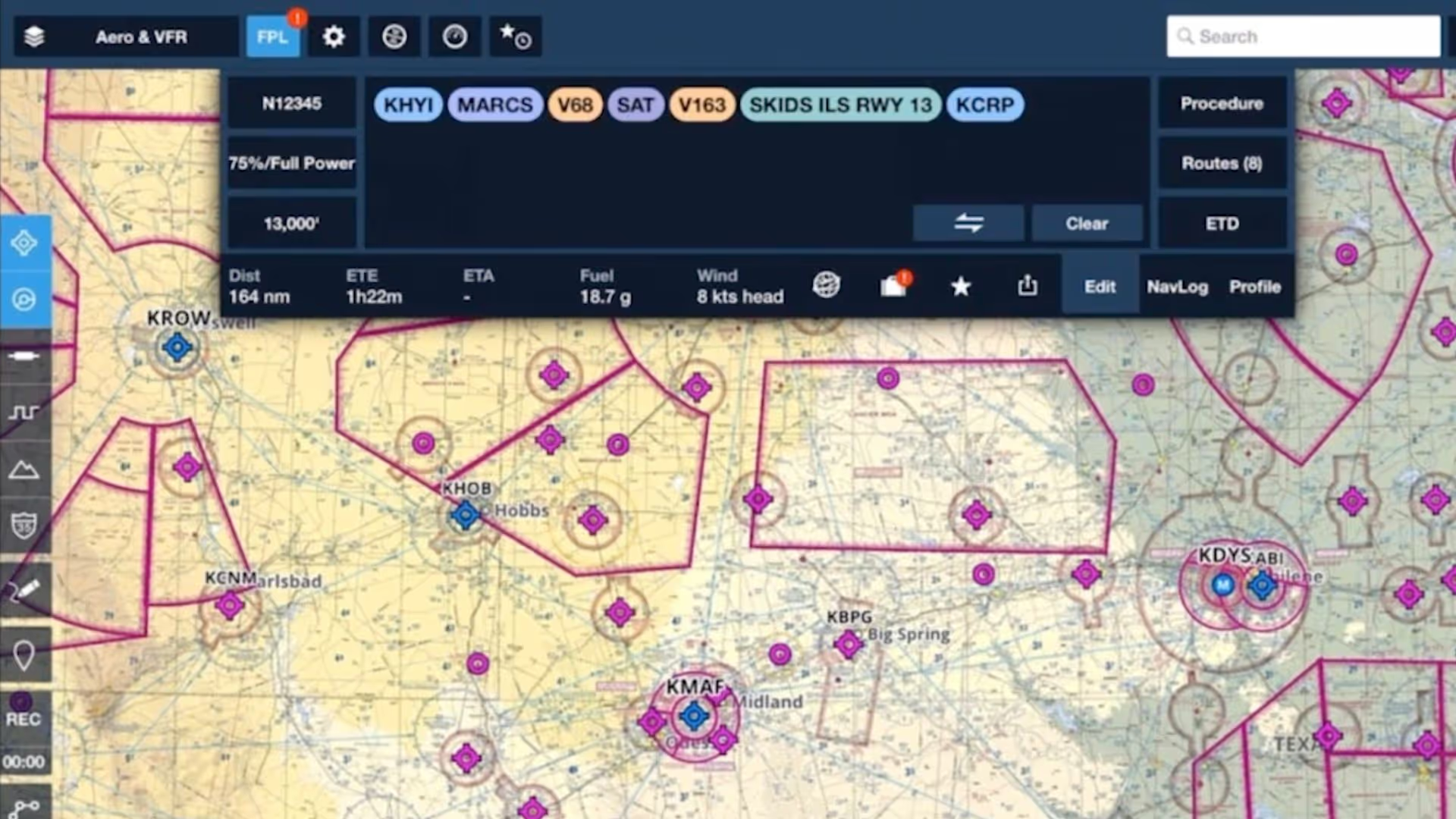
Join Robert MacLeod and Tim Stahl, both members of ForeFlight’s specialized Flight Operations team, as they walk through the simple steps to set up and file US IFR flight plans in ForeFlight.
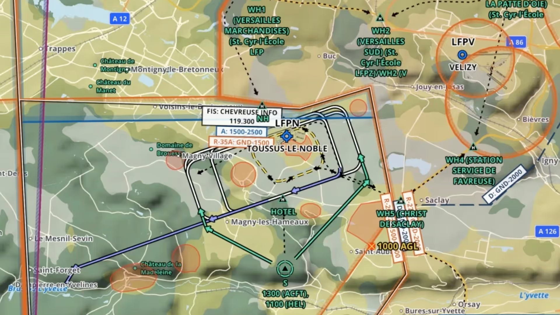
Begleiten Sie ForeFlight Pilot Support Team-Mitglied Wolfgang Oestreich und lernen Sie die Grundlagen der VFR-Planung, Flugplanaufgabe und Flugdurchführung in Europa kennen.
Our second webinar in this series for pilots in Europe focuses on crucial aspects of setting up your aircraft in ForeFlight.
Join ForeFlight Pilot Support Team member Wolfgang Oestreich to learn the basics of using ForeFlight in Europe, including planning and filing basic flight plans, checking weather, and more.
Join ForeFlight Pilot Support Team member Wolfgang Oestreich to learn the essentials of planning, filing, and flying IFR in Europe.
Join ForeFlight Pilot Support Team member Wolfgang Oestreich to learn how ForeFlight connects with portable devices and installed avionics to enhance your inflight workflow.
Join ForeFlight Pilot Support Team member Wolfgang Oestreich to learn the essentials of planning, filing, and flying VFR flights in Europe.
Join ForeFlight Pilot Support Team member Wolfgang Oestreich to learn how to get the most out of ForeFlight’s weather features in Europe.
Join ForeFlight Pilot Support Team member Wolfgang Oestreich to learn how ForeFlight can connect with portable and installed avionics to enhance your inflight workflow
We’ll cover navigating ForeFlight, tips to find the information you need quickly, show you how to optimise flight planning on the Maps tab, and how to customize your in-app experience.

Join ForeFlight Pilot Support Team members Adrian Tegler and Dominik Ochmanek to learn all about how ForeFlight makes VFR flights in Canada safer, easier, and more enjoyable.
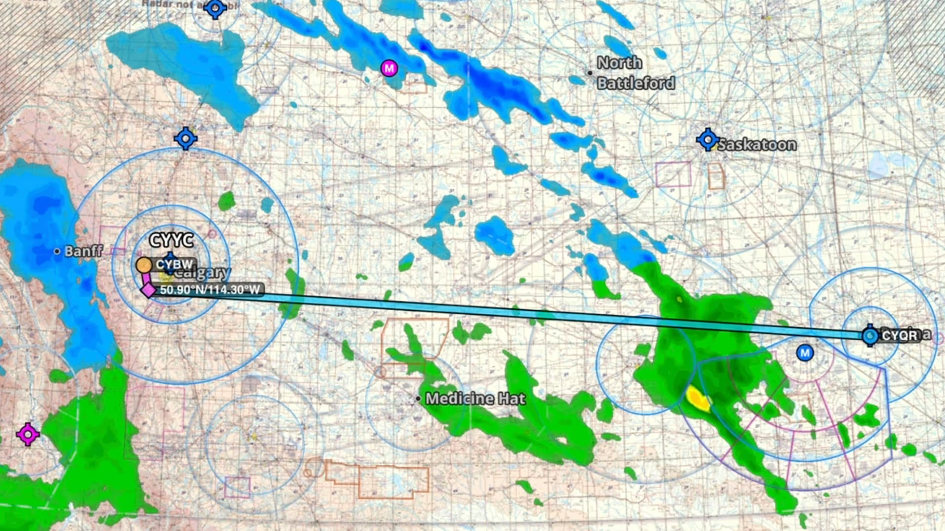
ForeFlight Pilot Support Team member and professional pilot Dominik Ochmanek explains how ForeFlight can help Canadian pilots prepare to fly in winter weather.